WPA: Difference between revisions
Alan.Myers (talk | contribs) No edit summary |
Alan.Myers (talk | contribs) No edit summary |
||
| Line 10: | Line 10: | ||
{{#ask: [[Category:WPA]] | {{#ask: [[Category:WPA]] | ||
[[County name::Bond]] | [[County name::Bond]] | ||
|?Map ID | |||
|?County_name | |||
|?TR=Township-Range | |||
|?Township_name=Township Name (if available) | |||
|format=table | |||
|limit=500 | |||
|offset=0 | |||
|link=all | |||
|sort= | |||
|order=asc | |||
|headers=plain | |||
|searchlabel=... more | |||
|class=datatable | |||
}} | |||
==Bureau== | |||
{{#ask: [[Category:WPA]] | |||
[[County name::Bureau]] | |||
|?Map ID | |||
|?County_name | |||
|?TR=Township-Range | |||
|?Township_name=Township Name (if available) | |||
|format=table | |||
|limit=500 | |||
|offset=0 | |||
|link=all | |||
|sort= | |||
|order=asc | |||
|headers=plain | |||
|searchlabel=... more | |||
|class=datatable | |||
}} | |||
==Christian== | |||
{{#ask: [[Category:WPA]] | |||
[[County name::Christian]] | |||
|?Map ID | |?Map ID | ||
|?County_name | |?County_name | ||
Revision as of 15:16, July 2, 2020
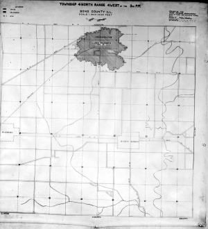
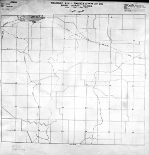
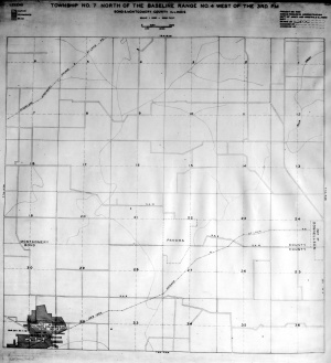
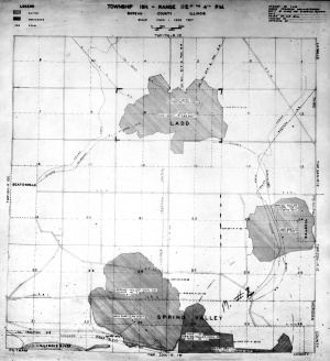
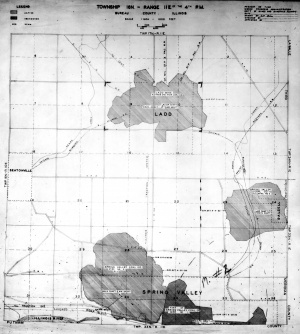
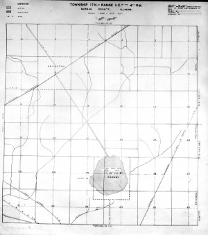
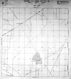
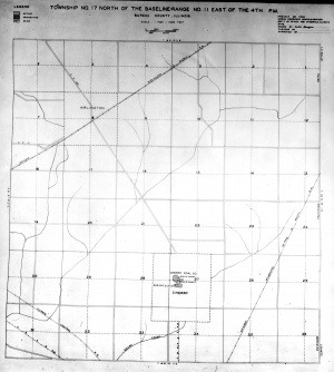
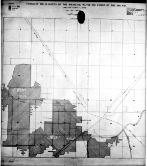
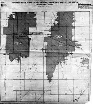
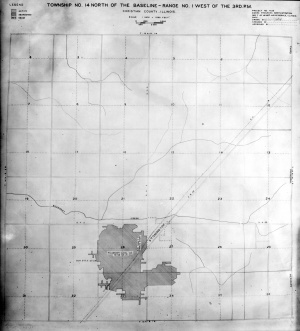
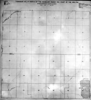
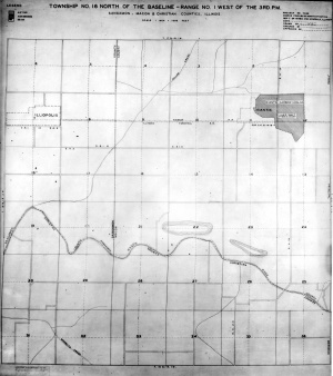
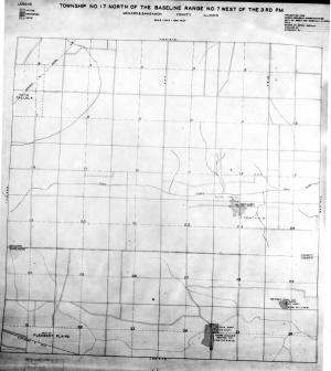
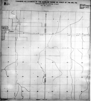
Works Progress Administration coal mine maps.
Disclaimer
Maps for some locations might have multiple versions/seams, please inspected these areas closely for differences.
Notes and corrections made by ISGS staff.
These maps are reproductions from microfilm, they may be of poor quality with text difficult to read.

