File:M0929.jpg: Difference between revisions
No edit summary |
Alan.Myers (talk | contribs) No edit summary |
||
| Line 10: | Line 10: | ||
|Map Status=Final | |Map Status=Final | ||
|Map ID=4103.S31 i5.1-57 | |Map ID=4103.S31 i5.1-57 | ||
|Map hires=https://wikiimage.isgs.illinois.edu/ilmines/st_clair/m0929.zip | |||
|county1=St. Clair | |county1=St. Clair | ||
|quad1=O'Fallon | |quad1=O'Fallon | ||
|Image Used For=slope and shaft locations, mine outline, mining method | |Image Used For=slope and shaft locations, mine outline, mining method | ||
}} | }} | ||
Latest revision as of 10:28, December 11, 2020
CLICK HERE TO DOWNLOAD THE HIGH RESOLUTION IMAGE. FILE SIZE MAY BE LARGE(Note:this file is usually better quality than "original file" linked above)
| Mine Index(s): | 0929, 6608,6608 |
| Mine Company: | Belle Valley Coal Company, Inc. |
| Mine Name | Belle Valley |
| Map Date | 6-1-1970 |
| Map Scale | 1:4966 |
| Map Type microfilm/company/wpa/quade | ISGS map library |
| Map Status final,not final, secondary | Final |
| ID Number | 4103.S31 i5.1-57 |
| Used For | slope and shaft locations, mine outline, mining method |
| Notes | |
| Image Credit | |
| Hi-Res Download | Click to download |
File history
Click on a date/time to view the file as it appeared at that time.
| Date/Time | Thumbnail | Dimensions | User | Comment | |
|---|---|---|---|---|---|
| current | 11:31, October 13, 2020 | 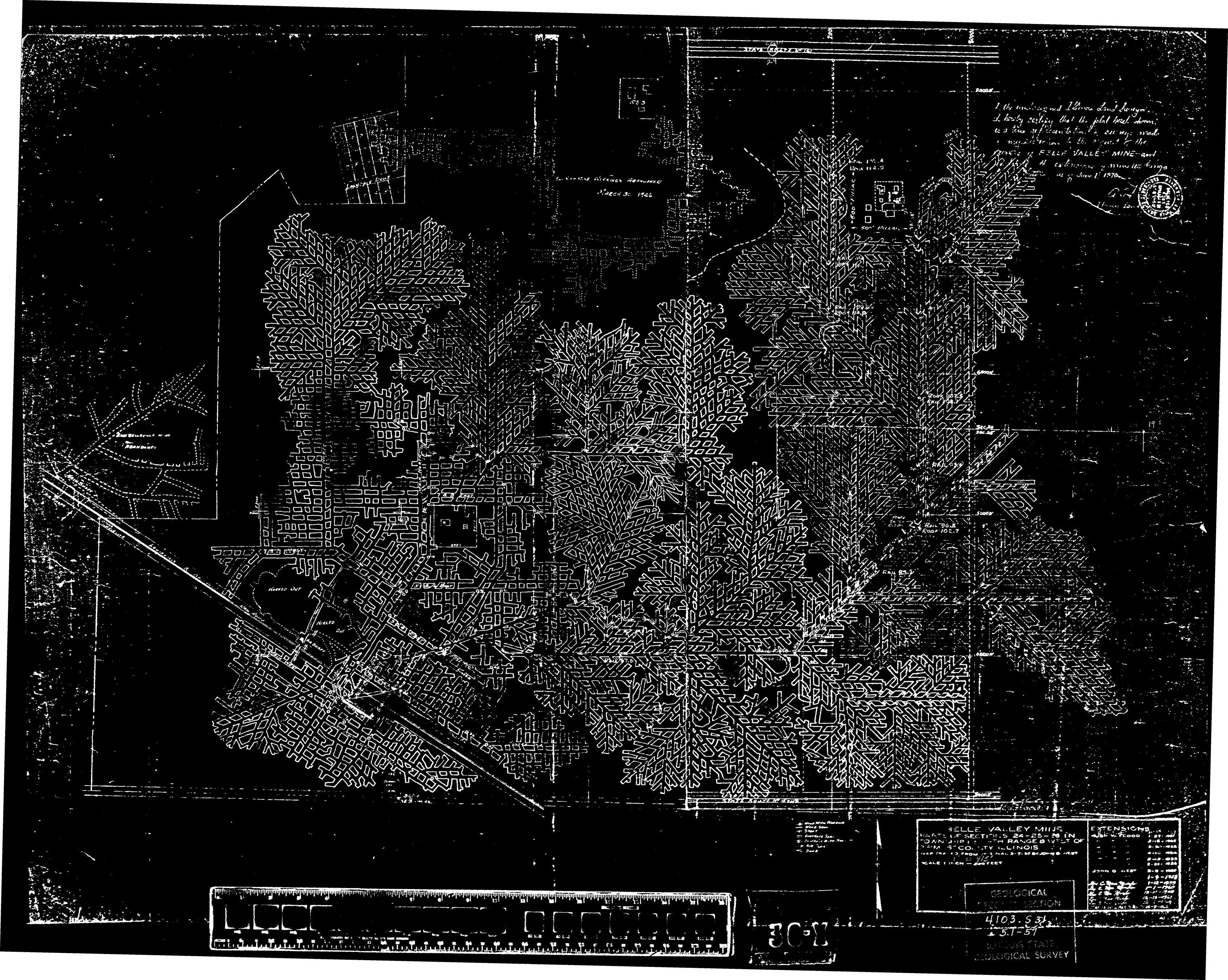 | 3,390 × 2,707 (2.15 MB) | Cheri (talk | contribs) |
You cannot overwrite this file.