Main Page: Difference between revisions
Alan.Myers (talk | contribs) No edit summary |
Alan.Myers (talk | contribs) No edit summary |
||
| Line 3: | Line 3: | ||
File:Coal mines.png|link=Coal_Mines|Coal mined out areas, mine directories, and more | File:Coal mines.png|link=Coal_Mines|Coal mined out areas, mine directories, and more | ||
File:Coal Mine Statistics.png|link=Mine_Statistics|Coal mine production in Illinois from 1983 | File:Coal Mine Statistics.png|link=Mine_Statistics|Coal mine production in Illinois from 1983 | ||
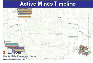
File:Timeline.png|link=[https://prairie-research.maps.arcgis.com/apps/webappviewer/index.html?id=0fc1d179445c4b33a376684520e47a06] | File:Timeline.png|link=Time Line|[https://prairie-research.maps.arcgis.com/apps/webappviewer/index.html?id=0fc1d179445c4b33a376684520e47a06]<br>Year by year coal mined areas from 1969 for currently active underground mines | ||
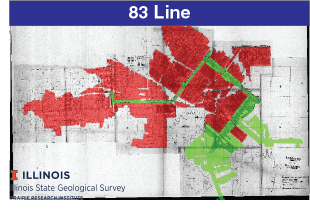
File:83-line.png|link=https://prairie-research.maps.arcgis.com/apps/webappviewer/index.html?id=90b8d3b628ed45a79cdb60ee0bae789f | File:83-line.png|link=https://prairie-research.maps.arcgis.com/apps/webappviewer/index.html?id=90b8d3b628ed45a79cdb60ee0bae789f | ||
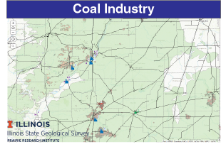
File:Coal_industry.png|link=https://prairie-research.maps.arcgis.com/apps/MapSeries/index.html?appid=c19e6d99461648b58f24a7fbfe362d74 | File:Coal_industry.png|link=https://prairie-research.maps.arcgis.com/apps/MapSeries/index.html?appid=c19e6d99461648b58f24a7fbfe362d74 | ||
Revision as of 16:41, April 2, 2020
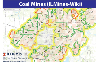
Coal mined out areas, mine directories, and more
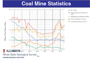
Coal mine production in Illinois from 1983
[1]
Year by year coal mined areas from 1969 for currently active underground mines