FileList:CaveInRockWLDavisPlanDrill.jpg
|
These files may not be true to scale and are not georgistered. |
|---|
| Mine Index(s): | 10106430 |
| ID Name/Number: | |
| File Type: | Map |
| Mine Company: | Ozark-Mahoning Company |
| Mine Name | |
| Date | |
| Map Type | |
| Map Status | |
| Map Scale | 1"=50' |
| File Credit | |
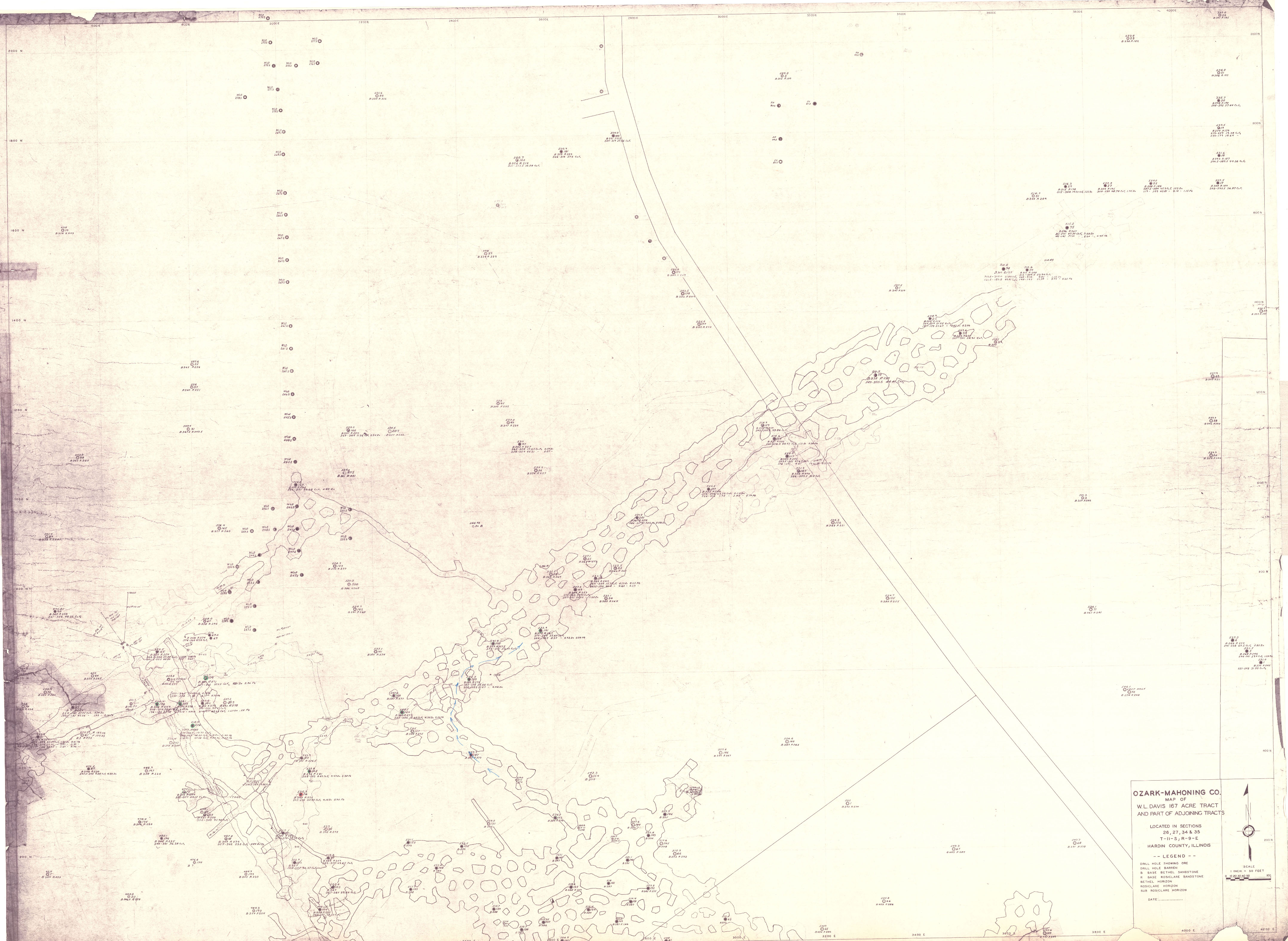
| Caption | Ozark-Mahoning Company
Map of W.L. Davis 167 Acre Tract and Part of adjoining tracts |
| Publication | |
| Note: | |
| DownloadThese files are true to scale and most are georegistered for gis software. | Click to download |
| District | Fluorspar District |
| Subdistrict | Cave-in-Rock Subdistrict |
| Tract Name(s) | W.L. Davis 167 Acre |