FileList:EuniceTaylor 40Acre DrillPlan 1967.jpg
|
These files may not be true to scale and are not georgistered. |
|---|
| Mine Index(s): | 10082991 |
| ID Name/Number: | |
| File Type: | Map |
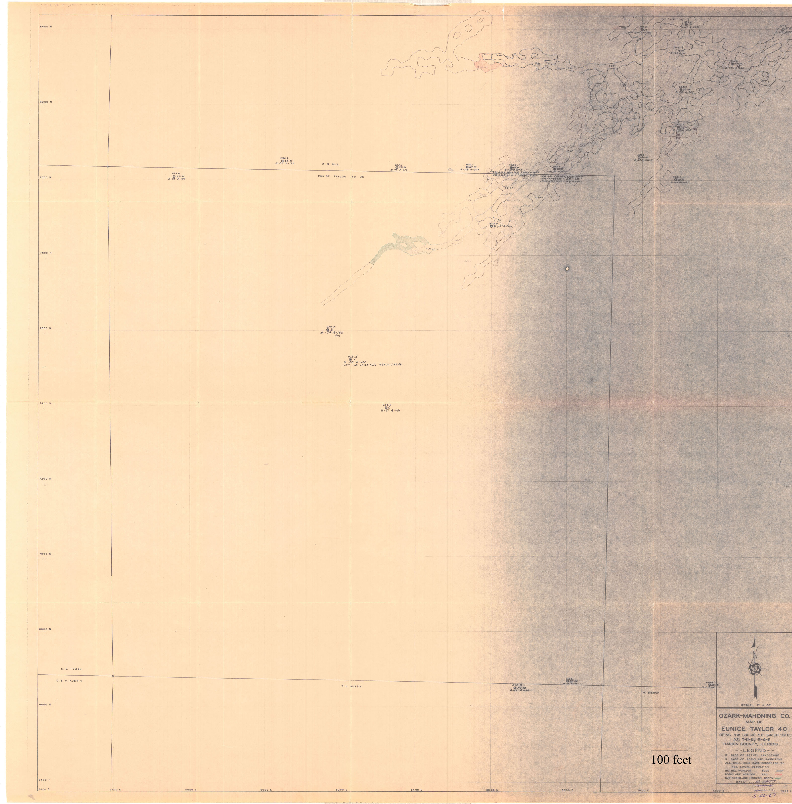
| Mine Company: | Ozark-Mahoning Company |
| Mine Name | |
| Date | 05/26/1967 |
| Map Type | |
| Map Status | |
| Map Scale | |
| File Credit | Illinois State Geological Survey |
| Caption | Ozark-Mahoning Company
Map of Eunice Taylor 40 |
| Publication | |
| Note: | |
| DownloadThese files are true to scale and most are georegistered for gis software. | Click to download |
| District | Fluorspar District |
| Tract Name(s) | Eunice Taylor 40 |