File:Folio67b.jpg
Size of this preview: 800 × 524 pixels. Other resolution: 1,919 × 1,256 pixels.
Original file (1,919 × 1,256 pixels, file size: 1.05 MB, MIME type: image/jpeg)
CLICK HERE TO DOWNLOAD THE HIGH RESOLUTION IMAGE. FILE SIZE MAY BE LARGE(Note:this file is usually better quality than "original file" linked above)
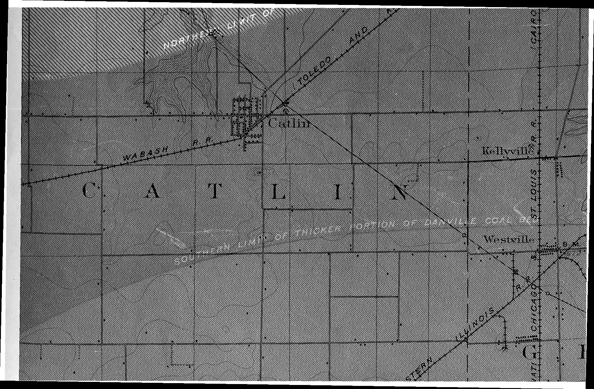
| Mine Index(s): | 3881, 6582,6582 |
| Mine Company: | Taylor-English Coal Company |
| Mine Name | Taylor-English No. 2 Mine |
| Map Date | 12-1900 |
| Map Scale | 1:62500 |
| Map Type microfilm/company/wpa/quade | USGS composite map |
| Map Status final,not final, secondary | Secondary source |
| ID Number | |
| Used For | Shaft and drift locations, Danville Coal |
| Notes | USGS Folio 67, Danville (15-minute) Quadrangle |
| Image Credit | |
| Hi-Res Download | Click to download |
File history
Click on a date/time to view the file as it appeared at that time.
| Date/Time | Thumbnail | Dimensions | User | Comment | |
|---|---|---|---|---|---|
| current | 14:19, March 16, 2021 | | 1,919 × 1,256 (1.05 MB) | Cheri (talk | contribs) |
You cannot overwrite this file.
File usage
The following page uses this file: