File:M4383 moa1950.jpg
Size of this preview: 635 × 600 pixels. Other resolutions: 2,168 × 2,048 pixels | 3,490 × 3,297 pixels.
Original file (3,490 × 3,297 pixels, file size: 1.61 MB, MIME type: image/jpeg)
CLICK HERE TO DOWNLOAD THE HIGH RESOLUTION IMAGE. FILE SIZE MAY BE LARGE(Note:this file is usually better quality than "original file" linked above)
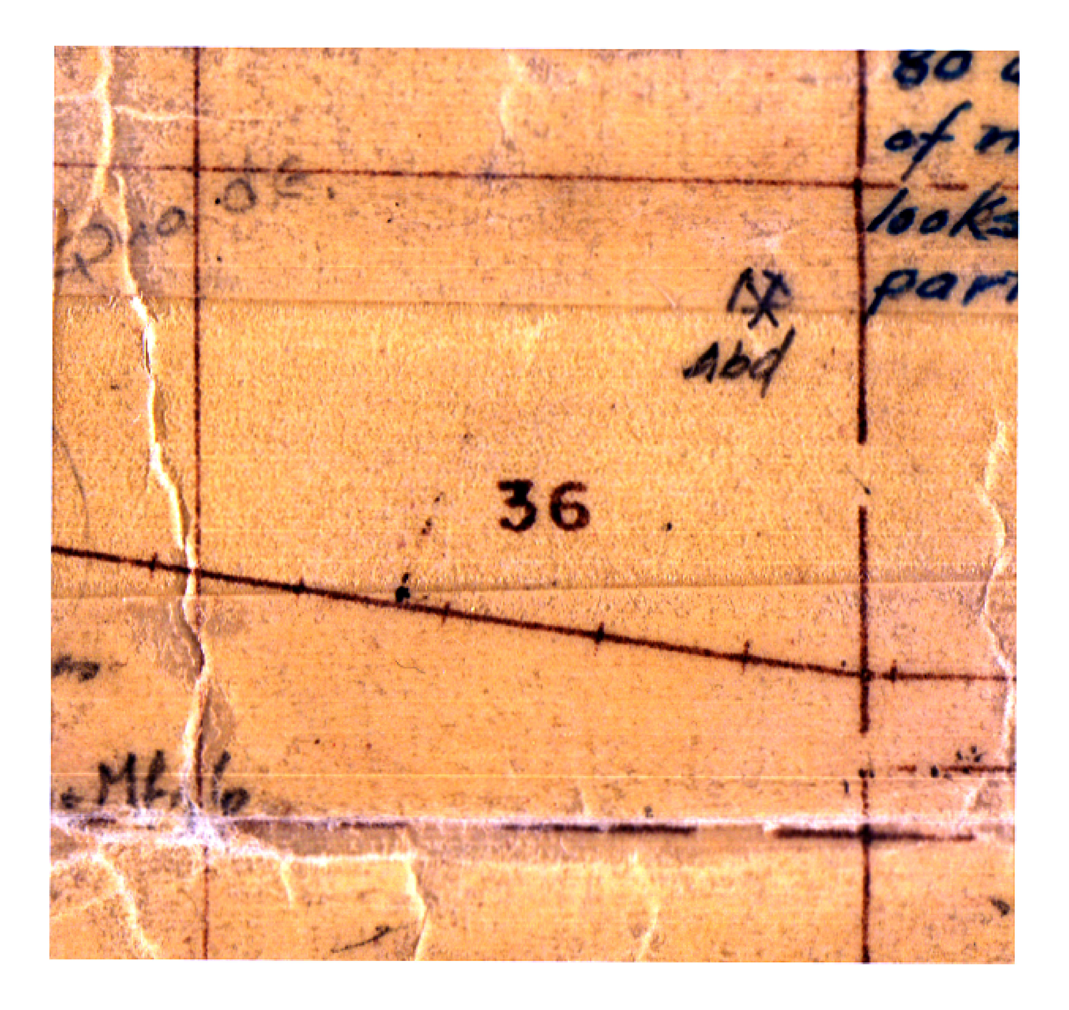
| Mine Index(s): | 4383 |
| Mine Company: | |
| Mine Name | |
| Map Date | 1950 |
| Map Scale | 1:62500 |
| Map Type microfilm/company/wpa/quade | ISGS mined-out area map |
| Map Status final,not final, secondary | Secondary source |
| ID Number | Area 27 |
| Used For | shaft location |
| Notes | |
| Image Credit | |
| Hi-Res Download | Click to download |
File history
Click on a date/time to view the file as it appeared at that time.
| Date/Time | Thumbnail | Dimensions | User | Comment | |
|---|---|---|---|---|---|
| current | 11:37, August 17, 2021 | | 3,490 × 3,297 (1.61 MB) | Cheri (talk | contribs) |
You cannot overwrite this file.
File usage
The following page uses this file: