File:M7737 geo.jpg
Size of this preview: 679 × 600 pixels. Other resolutions: 2,318 × 2,048 pixels | 3,040 × 2,686 pixels.
Original file (3,040 × 2,686 pixels, file size: 721 KB, MIME type: image/jpeg)
CLICK HERE TO DOWNLOAD THE HIGH RESOLUTION IMAGE. FILE SIZE MAY BE LARGE(Note:this file is usually better quality than "original file" linked above)
| Mine Index(s): | 7737 |
| Mine Company: | |
| Mine Name | |
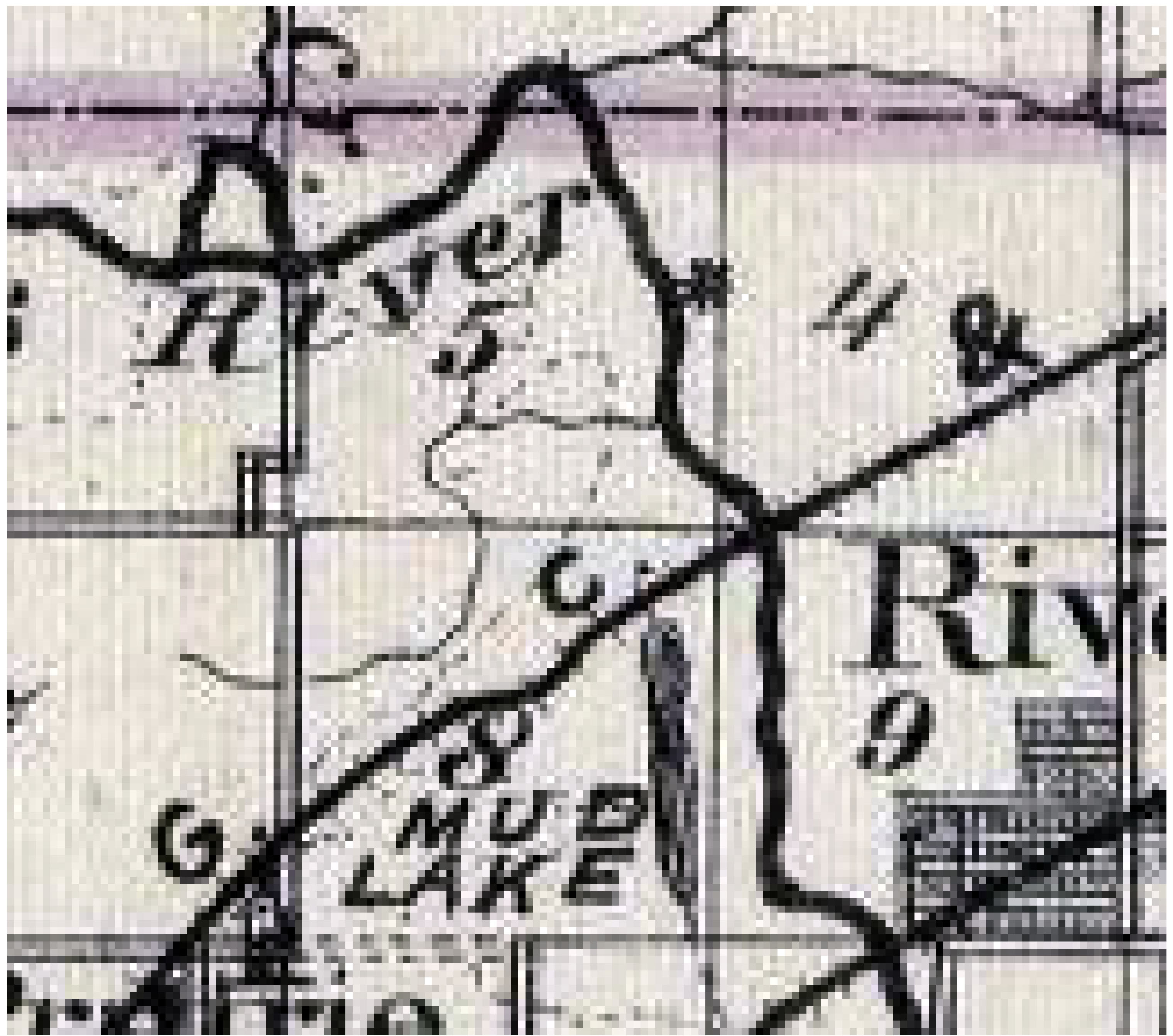
| Map Date | 1876 |
| Map Scale | |
| Map Type microfilm/company/wpa/quade | Atlas |
| Map Status final,not final, secondary | Secondary source |
| ID Number | |
| Used For | mine location |
| Notes | Atlas of Illinois, Warner & Beers, 1876 |
| Image Credit | |
| Hi-Res Download | Click to download |
File history
Click on a date/time to view the file as it appeared at that time.
| Date/Time | Thumbnail | Dimensions | User | Comment | |
|---|---|---|---|---|---|
| current | 18:36, June 8, 2018 | | 3,040 × 2,686 (721 KB) | Cheri (talk | contribs) |
You cannot overwrite this file.
File usage
There are no pages that use this file.