Saline
< Historical MOA Maps | WPA
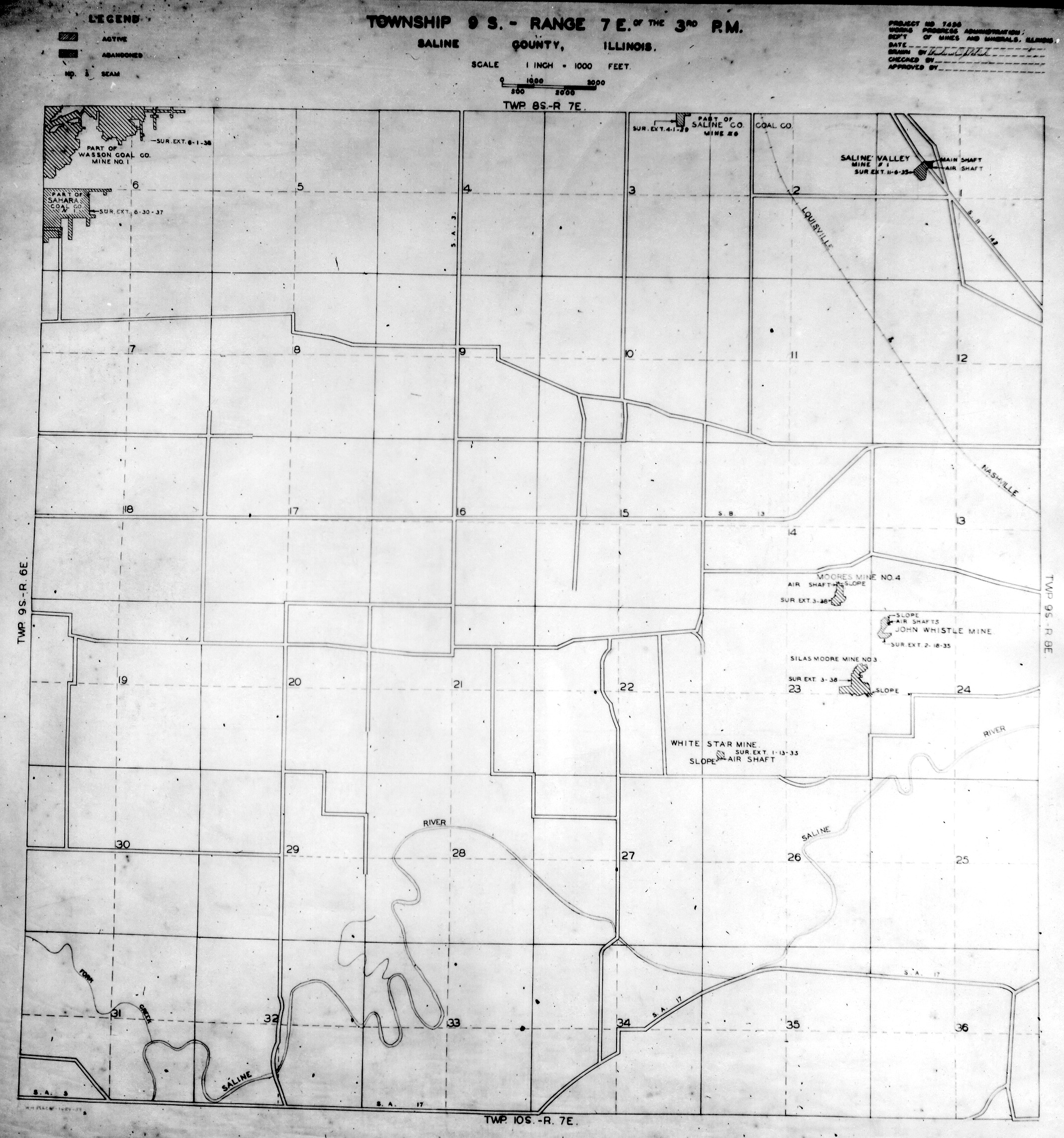
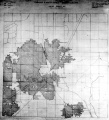
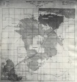
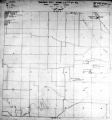
These maps were constructed as part of the nationwide Works Projects Administration (WPA), generally between 1934 and 1937 with some later updates or revisions.
Disclaimer
Maps for some locations might have multiple versions/seams, please inspected these areas closely for differences.
Notes and corrections were made by ISGS staff.
These maps are reproductions from microfilm, they may be of poor quality with text difficult to read.


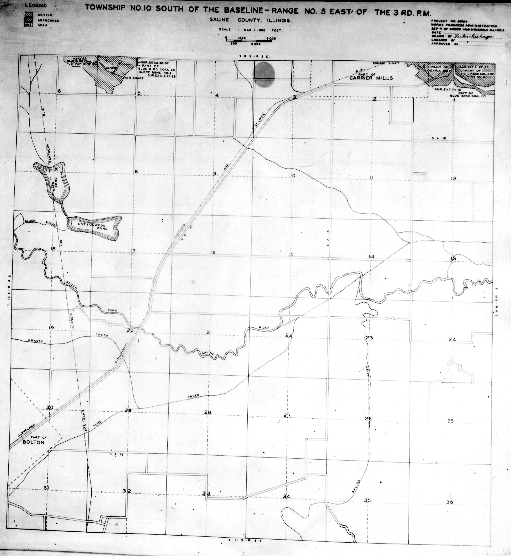
Saline, T10S-R5E
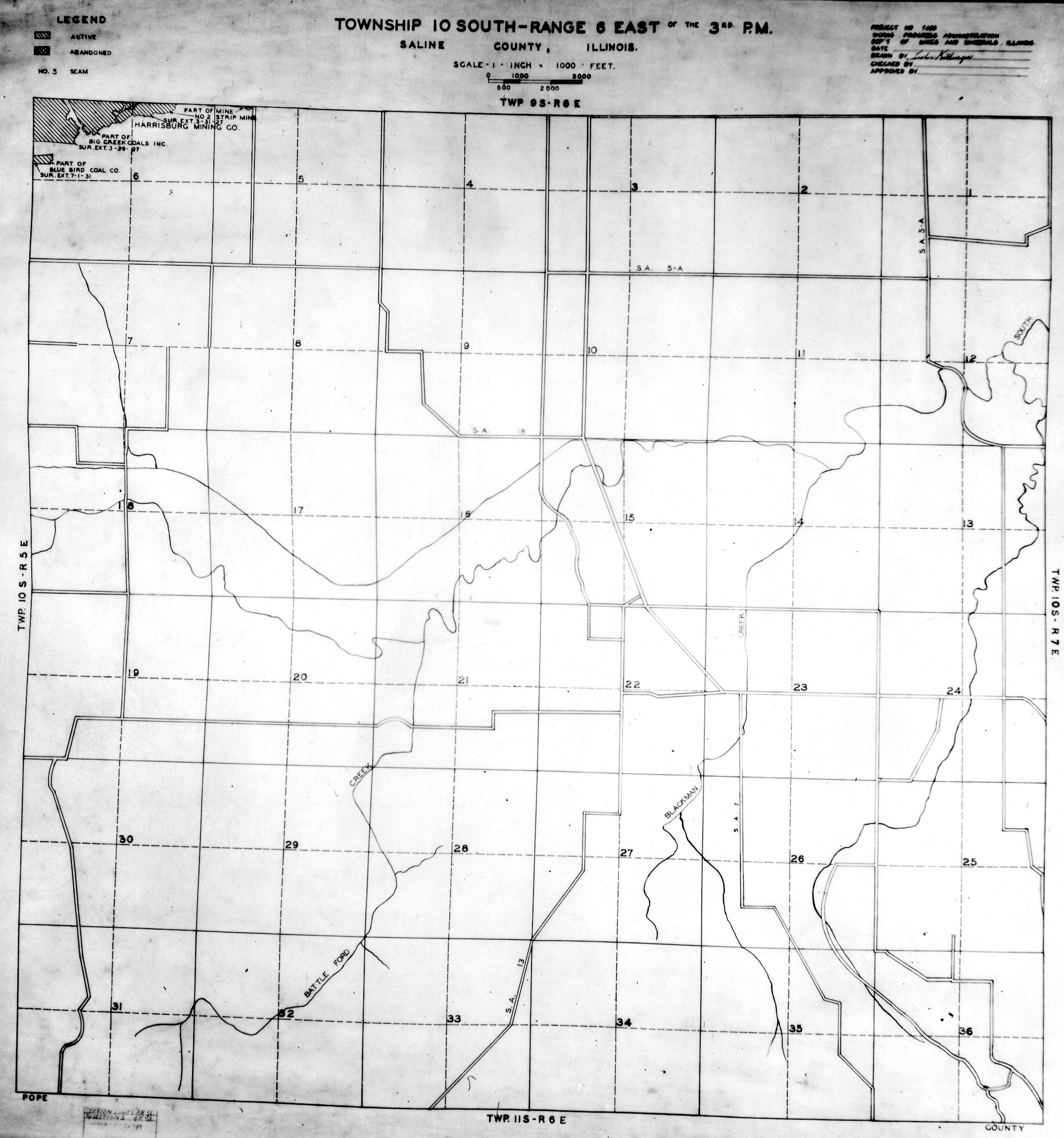
Saline, T10S-R6E
Saline, T10S-R7E
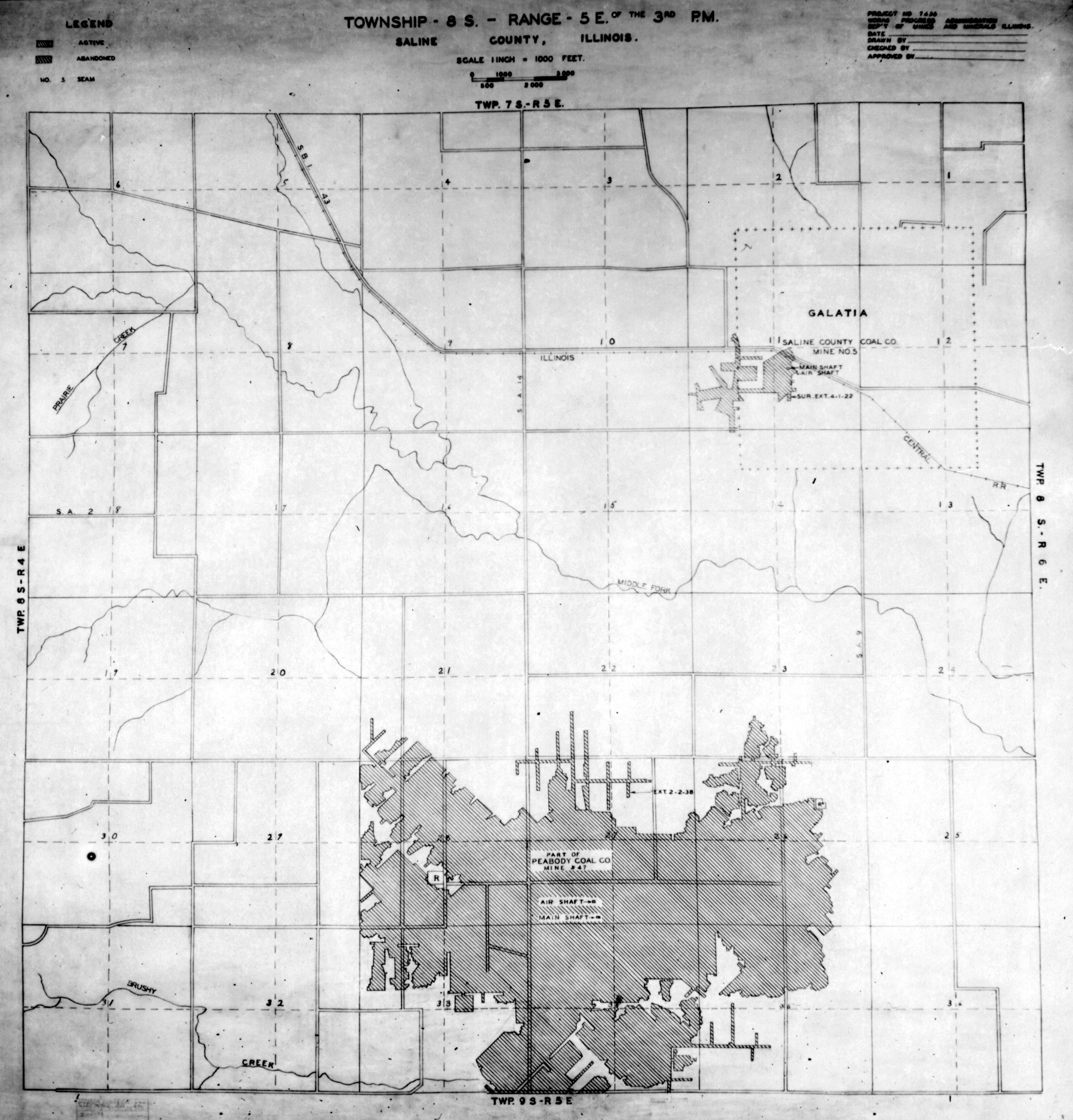
Saline, T8S-R5E

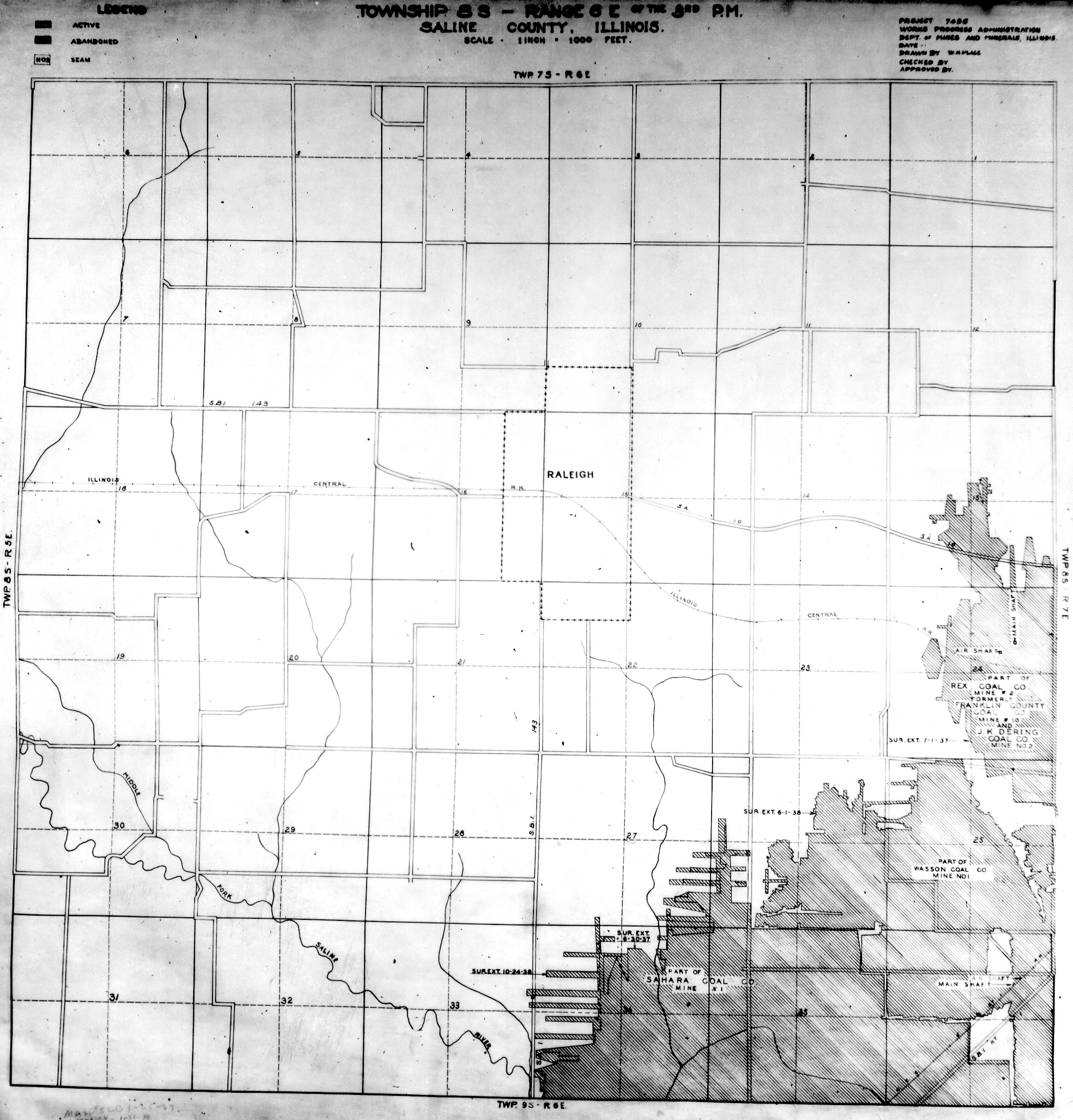
Saline, T8S-R6E
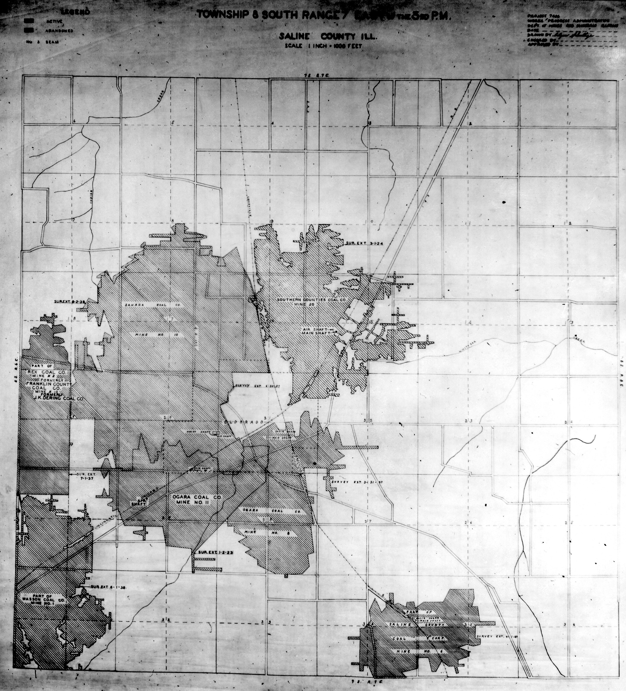
Saline, T8S-R7E

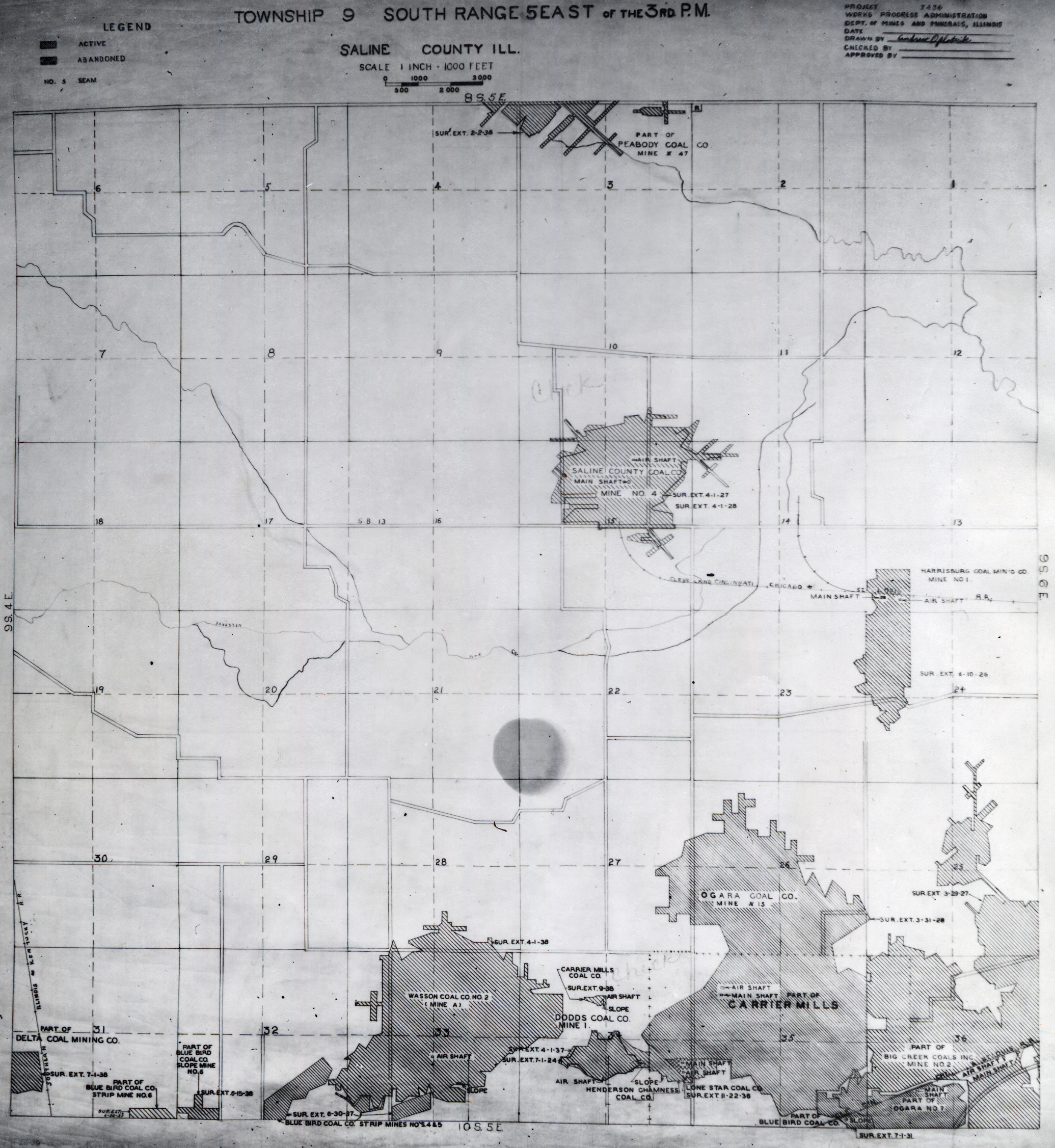
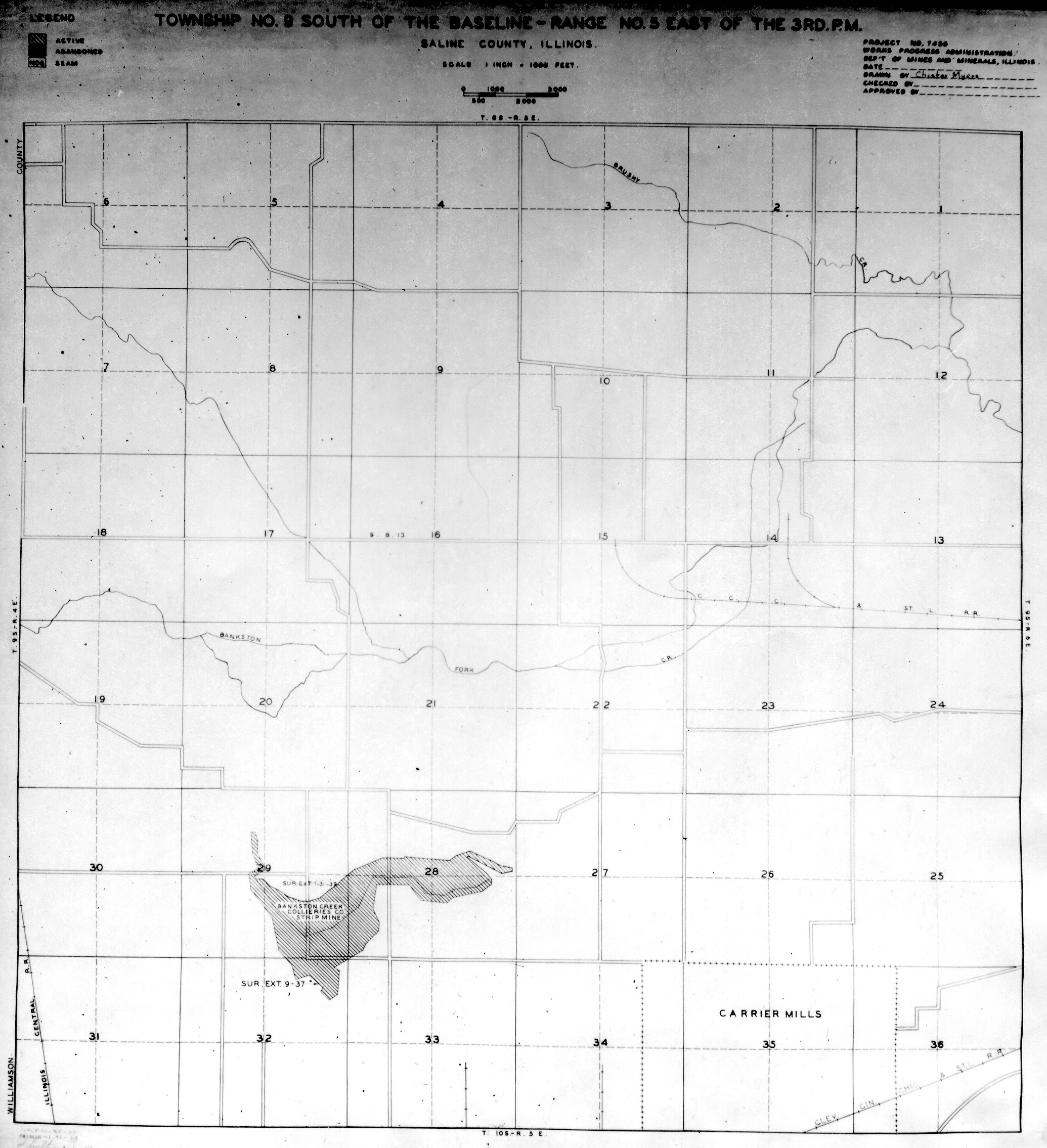
Saline, T9S-R5E No.1
Saline, T9S-R5E No.2
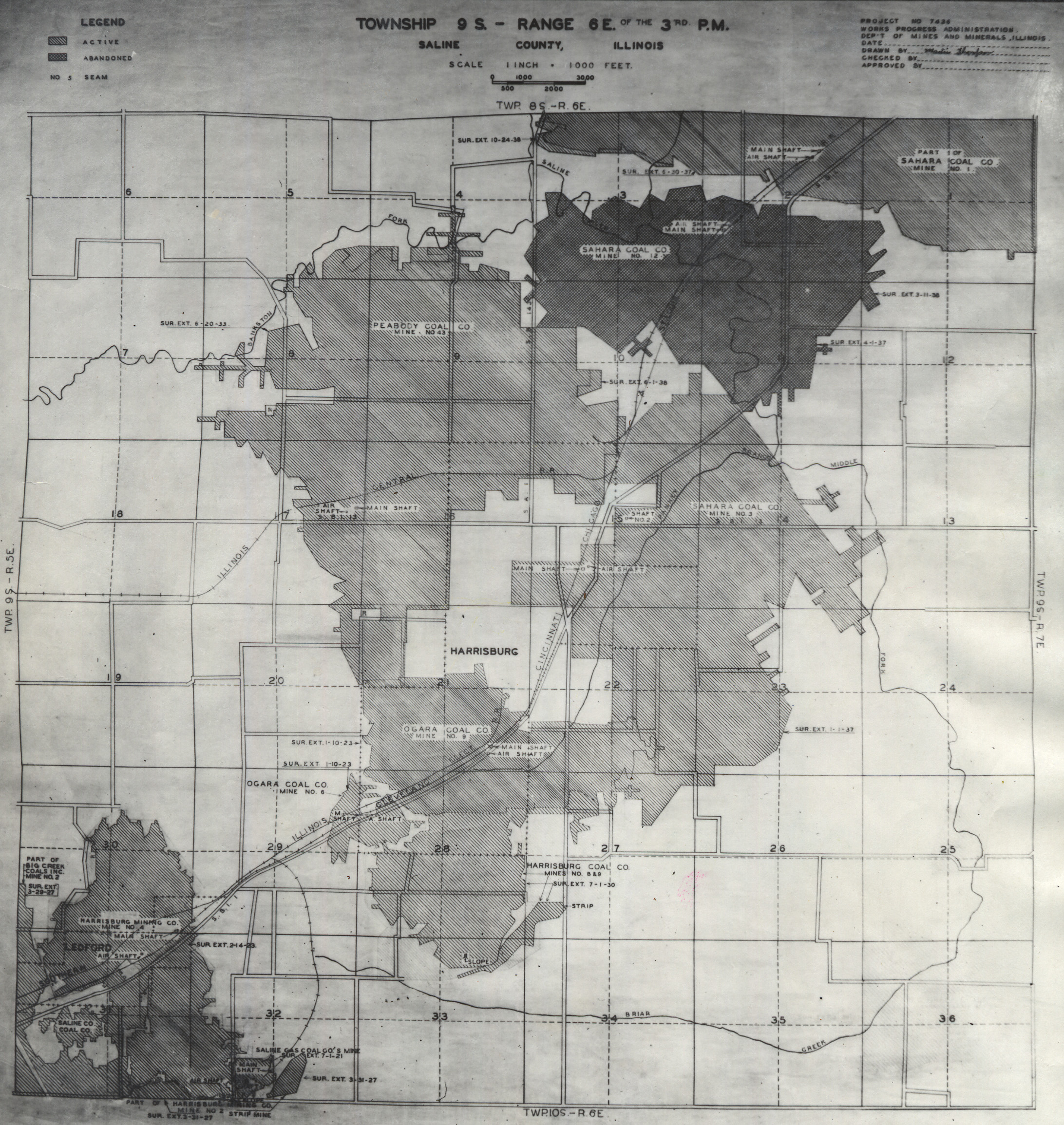
Saline, T9S-R6E No.1
Saline, T9S-R6E No.2
Saline, T9S-R7E