Mine Index Number: 0079
| Company Name:
|
Southern Coal, Coke and Mining Company
|
| Mine Name:
|
Southern Mine No. 8
|
| Start Date:
|
1903
|
End Date:
|
1928
|
| Type of Mine:
|
Underground
|
| Total acres shown:
|
997
|
| Acres after map date:
|
|
General Area of mining acres shown:
|
|
|
|
Shaft, Slope, Drift or Tipple Location(s)
| Type
|
County
|
Township-Range
|
Section
|
Part Section
|
| Main shaft
|
St. Clair
|
1N 7W
|
17
|
SE SW NE
|
| Air shaft
|
St. Clair
|
1N 7W
|
17
|
SE SW NE
|
Geology
| Herrin
|
115-128
|
6.0
|
7.5
|
6.7-7.0
|
RPP
|
Geological Problems Reported
Clay veins, slips and rolls occured in this mine. The black shale roof contained concretions and slips. The slips extended up into the limestone above the shale. The displacement was generally 5 or 6 inches, but the roof was bad in the vicinity of slips and came down in massive blocks. Gas was also present in the slips, and water seeped in from the slips. The floor clay heaved badly when wet. In one case where the pillar was slightly robbed and the clay was wet, the floor heaved 3 feet.
Production
| Company
|
Mine Name
|
Date
|
Production (tons)
|
Production Notes
Coal Report production (if available)
Sources of Data
| State archive, PB_986
|
1922
|
1:4800
|
1:4800
|
Not final
|
| WPA
|
6-21-1927
|
1:1200
|
1:24828
|
Secondary source
|
Annotated Bibliography (Data source - brief description of information)
| Coal Reports - Production, ownership, years of operation.
|
| Directory of Illinois Coal Mines (St. Clair County) - Mine names, mine index, ownership, years of operation.
|
| ISGS map library, 4103.S31 i5.1-54, map of St. Ellen Mine (mine index 533) - Mine outline (western), mining method.
|
| WPA map - Shaft locations, south part of mine outline (eastern).
|
| Mine notes (St. Clair County) - Mine type, shaft locations, seam, depth, thickness, geologic problems.
|
| Land Bank Report (St. Clair County) - Depth, thickness.
|
Mine Notes
Mine Images
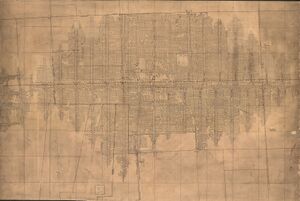
Archive: PB_986
Map Date: 1922
Coal Co.: Southern Coal, Coke and Mining Company
Mine Name: Southern No. 8 Mine
Image Credit: Illinois Department of Natural Resources - Office of Mines and Minerals
Full Res Download
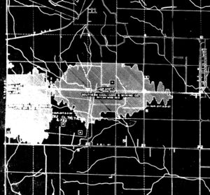
WPA: T1N-R7W
Map Date: 6-1-1927
Coal Co.: Southern Coal, Coke and Mining Company
Mine Name: Southern No. 8 Mine
Full Res Download
Photographs


