File:M0212.jpg

Size of this preview: 729 × 599 pixels. Other resolutions: 2,491 × 2,048 pixels | 3,390 × 2,787 pixels.
Original file (3,390 × 2,787 pixels, file size: 312 KB, MIME type: image/jpeg)
CLICK HERE TO DOWNLOAD THE HIGH RESOLUTION IMAGE. FILE SIZE MAY BE LARGE(Note:this file is usually better quality than "original file" linked above)
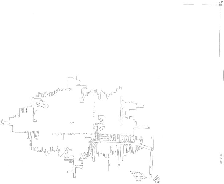
| Mine Index(s): | 0212 |
| Mine Company: | Taylor-English Coal Company |
| Mine Name | Taylor-English No. 2 Mine |
| Map Date | 7-1920 |
| Map Scale | 1:2400 |
| Map Type microfilm/company/wpa/quade | Company |
| Map Status final,not final, secondary | Not final |
| ID Number | 10-7-17 |
| Used For | Mine outline, shaft locations, mining method. |
| Notes | Copy of map from the Vermilion County Recorder's Office, Cabinet 03903, Drawer 1, Folder 2, traced and added to Coal Section files, 10-7-17. Most of the internal workings were not traced. |
| Image Credit | |
| Hi-Res Download | Click to download |
File history
Click on a date/time to view the file as it appeared at that time.
| Date/Time | Thumbnail | Dimensions | User | Comment | |
|---|---|---|---|---|---|
| current | 14:42, March 16, 2021 | | 3,390 × 2,787 (312 KB) | Cheri (talk | contribs) |
You cannot overwrite this file.
File usage
The following page uses this file: