5971: Difference between revisions
No edit summary |
No edit summary |
||
| (One intermediate revision by the same user not shown) | |||
| Line 22: | Line 22: | ||
{{Shaft locations header}} | {{Shaft locations header}} | ||
{{Shaft locations | {{Shaft locations | ||
|shaft_type=Shaft {{#info: Secondary source map indicated this was an air shaft. No other shaft source has been identified.|note}} | |||
|County=Williamson | |County=Williamson | ||
|Town-Range=9S 1E | |Town-Range=9S 1E | ||
| Line 32: | Line 33: | ||
{{Geology seam | {{Geology seam | ||
|Seam=Herrin | |Seam=Herrin | ||
|mining-method= | |mining-method=Underground | ||
}} | }} | ||
===Geological Problems Reported=== | ===Geological Problems Reported=== | ||
| Line 50: | Line 51: | ||
|Original Scale=1:15840 | |Original Scale=1:15840 | ||
|Digitized Scale=1:15840 | |Digitized Scale=1:15840 | ||
|Map Type=Secondary source | |||
}} | |||
{{Source Map | |||
|Source Map=Microfilm, document 353197 | |||
|Map Date=10-30-1934 | |||
|Original Scale=1:1200 | |||
|Digitized Scale=1:1200 | |||
|Map Type=Secondary source | |Map Type=Secondary source | ||
}} | }} | ||
{{Annotated bibliography header}} | {{Annotated bibliography header}} | ||
{{Annotated bibliography | {{Annotated bibliography | ||
|bibliography=ISGS map library, 4102 i5.1-50, sheet 1, map of Franklin County Coal Company, Faults in the No. 6 Seam - Mine name, mine | |bibliography=ISGS map library, 4102 i5.1-50, sheet 1, map of Franklin County Coal Company, Faults in the No. 6 Seam - Mine name, mine outline, seam. | ||
}} | |||
{{Annotated bibliography | |||
|bibliography=Microfilm map, document 353197, reel 3142, frame 105, map of Hundley Mine (mine index [[3989]]) - Uncertain shaft location. | |||
}} | }} | ||
==Mine Notes== | ==Mine Notes== | ||
Latest revision as of 18:05, February 9, 2023
Mine Index Number: 5971
| Company Name: | Unknown | ||
|---|---|---|---|
| Mine Name: | Donaly Mine | ||
| Start Date: | Unknown | End Date: | Unknown |
| Type of Mine: | Underground | ||
| Total acres shown: | |||
| Acres after map date: | General Area of mining acres shown: | 3 | |
Shaft, Slope, Drift or Tipple Location(s)
| Type | County | Township-Range | Section | Part Section |
|---|
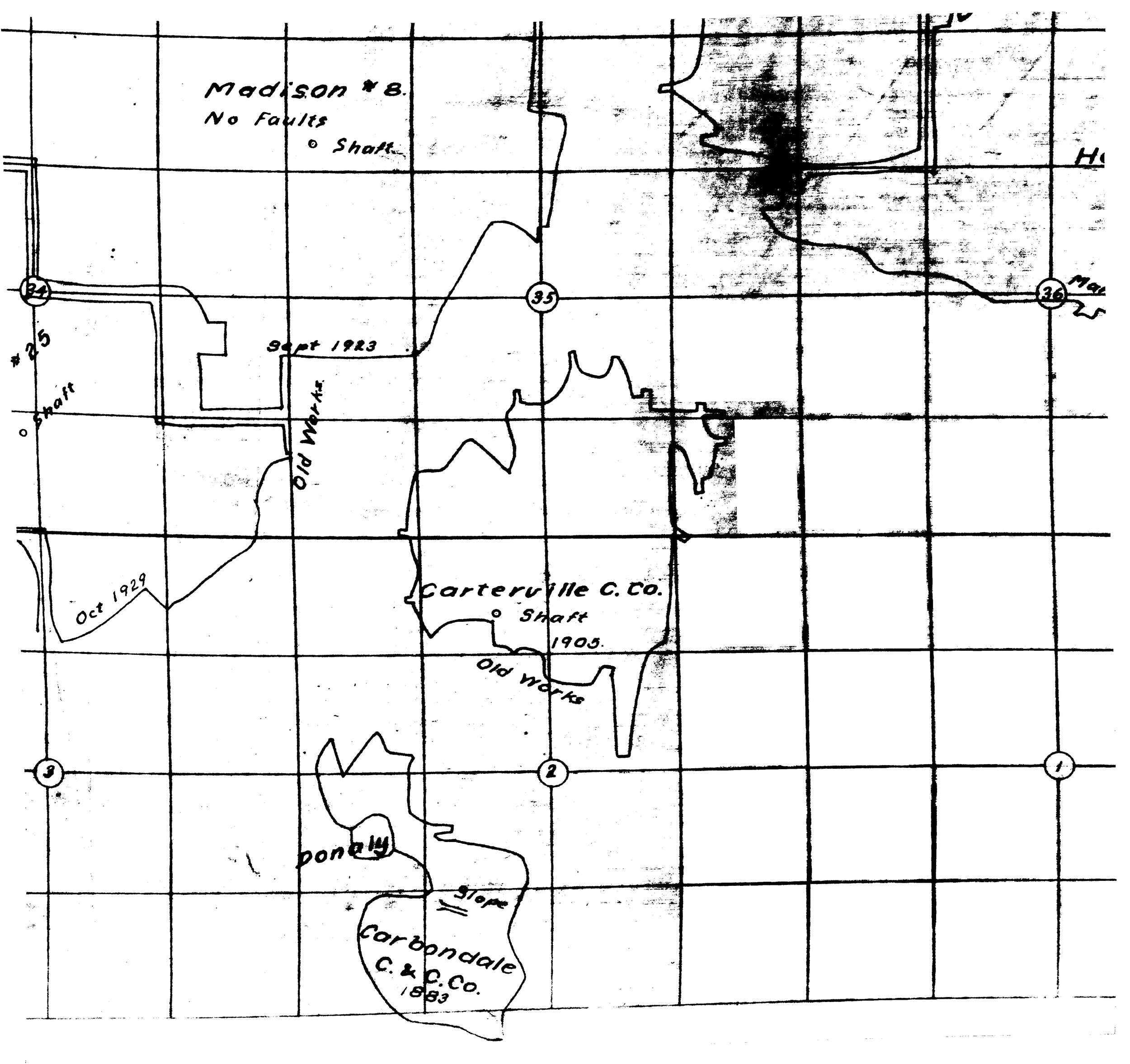
| Shaft Secondary source map indicated this was an air shaft. No other shaft source has been identified. | Williamson | 9S 1E | 2 | SE NW SW |
Geology
| Thickness (ft) | |||||
|---|---|---|---|---|---|
| Seam | Depth (ft) | Min | Max | Ave | Mining Method |
| Herrin | Underground |
Geological Problems Reported
Production
| Company | Mine Name | Date | Production (tons) |
Production Notes
Coal Report production (if available)
Sources of Data
| Source Map | Map Date | Original Scale | Digitized Scale | Map Type |
| ISGS map library, 4102 i5.1-50, sheet 1 | 9-2-1931 | 1:15840 | 1:15840 | Secondary source |
| Microfilm, document 353197 | 10-30-1934 | 1:1200 | 1:1200 | Secondary source |
Annotated Bibliography (Data source - brief description of information)
| ISGS map library, 4102 i5.1-50, sheet 1, map of Franklin County Coal Company, Faults in the No. 6 Seam - Mine name, mine outline, seam. |
| Microfilm map, document 353197, reel 3142, frame 105, map of Hundley Mine (mine index 3989) - Uncertain shaft location. |
Mine Notes
Mine Images
![[[:Hundley|Hundley]]](https://wikiimage.isgs.illinois.edu/ilmines/williamson/thumbnails/m3989_353197_3142_105_th.jpg)
Photographs