Category:Pekin-Quadrangle: Difference between revisions
Alan.Myers (talk | contribs) No edit summary |
Alan.Myers (talk | contribs) No edit summary |
||
| Line 1: | Line 1: | ||
__NOTOC__ | __NOTOC__ | ||
==Mining in the Pekin Quadrangle== | ==Mining in the Pekin Quadrangle== | ||
The unlocated mines at the back of this report show that a great deal of mining took place in this area, | |||
mining for which no maps are to be found. Two large areas, one near Lamarsh Creek and one near | |||
Hollis, have been designated “general area of mining”. It is believed some of the earliest mining in this | |||
quadrangle took place in these locations. | |||
Most mines operated in the Springfield Coal, but at least one mine also went deeper and mined the | |||
Colchester Coal, the Orchard Mine of the Third Vein Coal Company (mine index [[0828]]). | |||
==Map and Directory PDF Download== | ==Map and Directory PDF Download== | ||
Latest revision as of 09:08, October 28, 2022
Mining in the Pekin Quadrangle
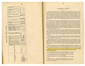
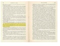
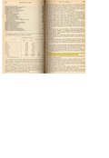
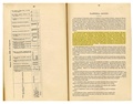
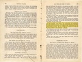
The unlocated mines at the back of this report show that a great deal of mining took place in this area, mining for which no maps are to be found. Two large areas, one near Lamarsh Creek and one near Hollis, have been designated “general area of mining”. It is believed some of the earliest mining in this quadrangle took place in these locations.
Most mines operated in the Springfield Coal, but at least one mine also went deeper and mined the Colchester Coal, the Orchard Mine of the Third Vein Coal Company (mine index 0828).
Map and Directory PDF Download
Coal Mines In Illinois Pekin Quadrangle
Mines that Appear on the Pekin Quadrangle
Unlocated Mines
Peoria County
Tazewell County
Pages in category "Pekin-Quadrangle"
The following 60 pages are in this category, out of 60 total.
7
Media in category "Pekin-Quadrangle"
The following 12 files are in this category, out of 12 total.
 M1790010 coalreport1882 p91.pdf 1,575 × 1,200; 275 KB
 M1790011 coalreport1884 p507.pdf 1,662 × 1,264; 337 KB
 M1790011 coalreport1885 p72.pdf 1,660 × 1,304; 873 KB
 M1790026 coalreport1897 p80.pdf 839 × 1,185; 142 KB
 M1790026 coalreport1898 p154.pdf 1,614 × 1,177; 320 KB
 M1790026 coalreport1901 p167.pdf 1,331 × 1,170; 329 KB
 M1790028 coalreport1902 p154.pdf 804 × 1,250; 110 KB
 M6808 coalreport1882 p91.pdf 1,575 × 1,200; 281 KB
 M6808 coalreport1884 p507.pdf 1,662 × 1,264; 337 KB
 M6808 coalreport1885 p72.pdf 1,660 × 1,304; 873 KB
 M6808 coalreport1896 p107.pdf 1,610 × 1,210; 301 KB
 M6808 minenotes.pdf 727 × 1,160; 171 KB