File:M-1045 sub fill LandM track SE of Staunton Consolidated no 6 mine.jpg
Size of this preview: 357 × 599 pixels. Other resolutions: 1,220 × 2,048 pixels | 2,584 × 4,338 pixels.
Original file (2,584 × 4,338 pixels, file size: 1.32 MB, MIME type: image/jpeg)
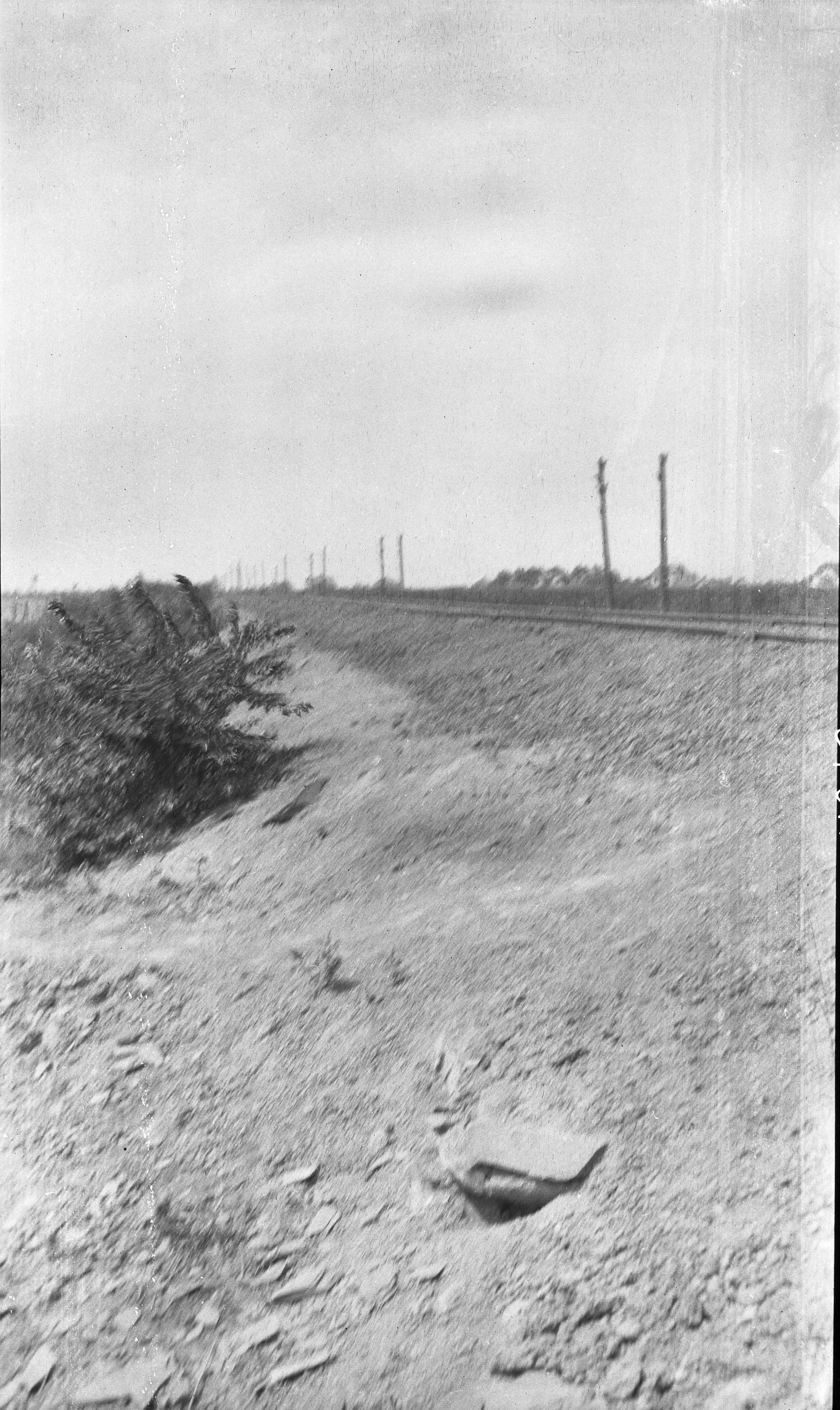
| Mine Index(s): | 0762 |
| Mine Company: | |
| Mine Name | Consolidated No. 6 |
| Photo Date | |
| Photo Credit | Illinois State Geological Survey |
| ISGS Library Call Number | M-1045 |
| Caption | Subsidence fill, L and M track SE of Staunton--Consolidated No 6 mine |
| Publication |
File history
Click on a date/time to view the file as it appeared at that time.
| Date/Time | Thumbnail | Dimensions | User | Comment | |
|---|---|---|---|---|---|
| current | 12:44, February 6, 2019 | | 2,584 × 4,338 (1.32 MB) | Alan.Myers (talk | contribs) |
You cannot overwrite this file.
File usage
The following 3 pages use this file: