Category:Macoupin-County
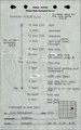
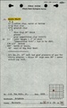
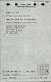
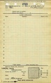
County Coal Data
Mines that Appear in Macoupin-County
- 9998 & 9999 = Unknown dates
Unlocated Mines in Macoupin-County
Mine that have known coal production but no known location
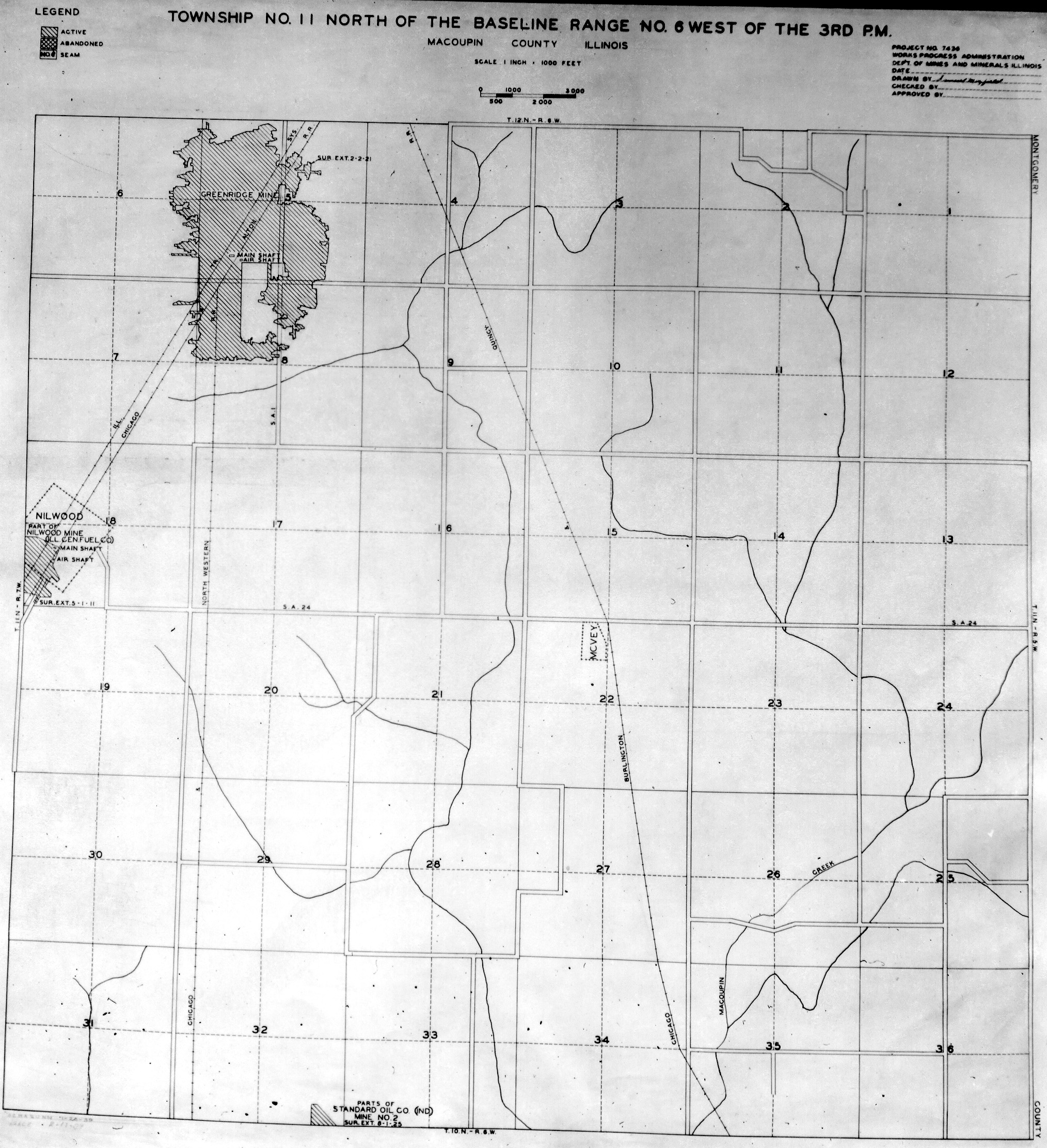
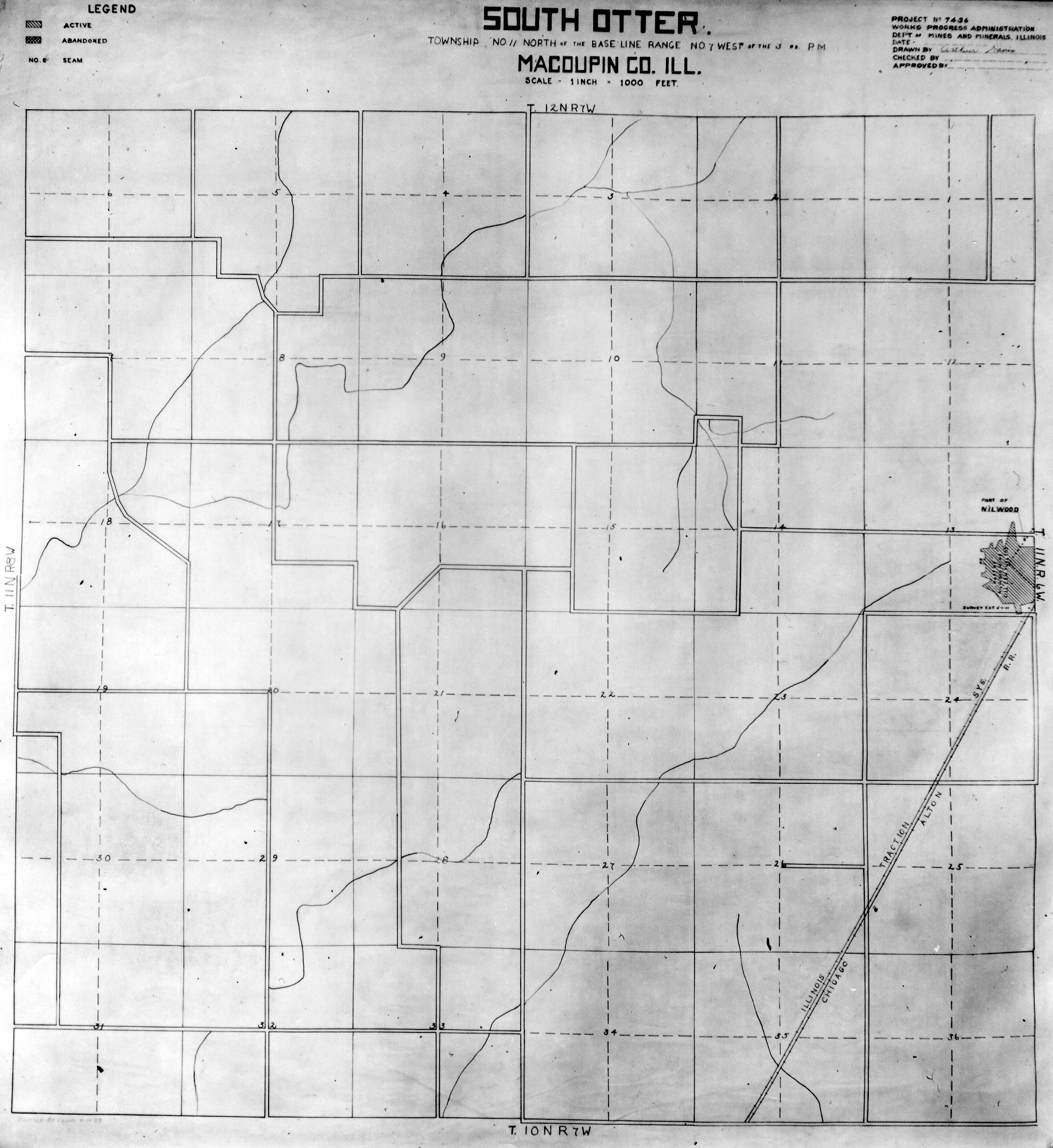
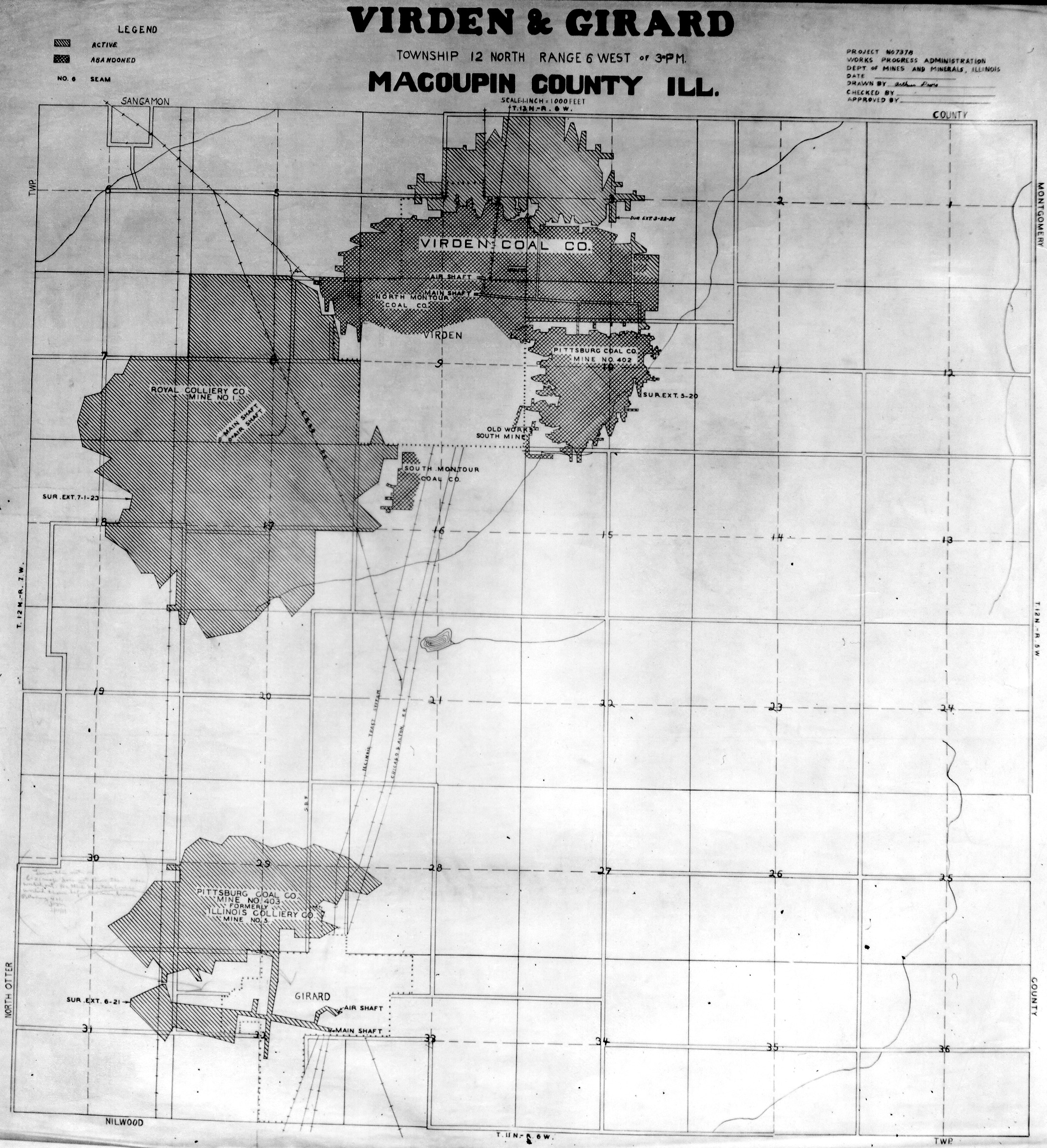
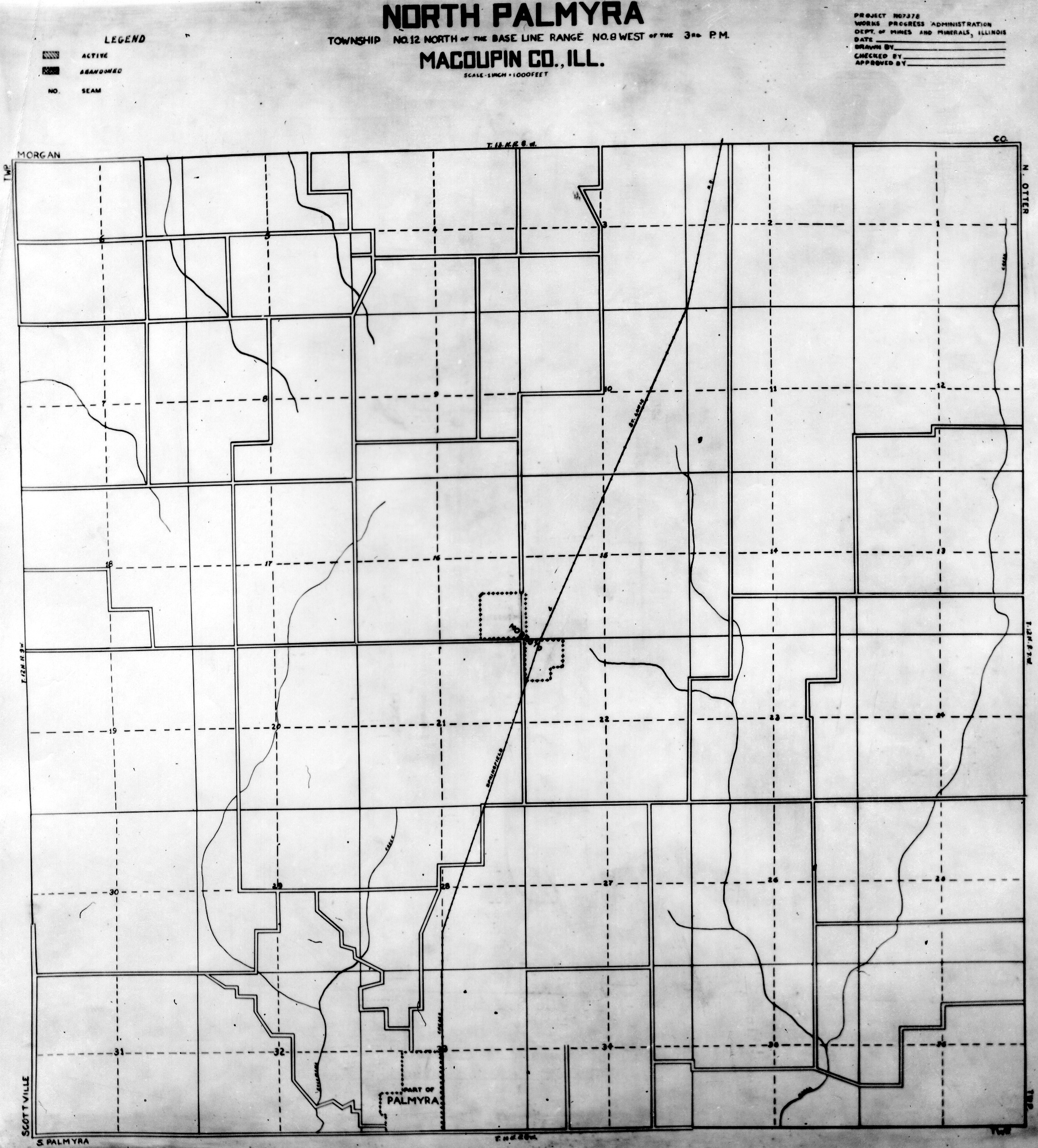
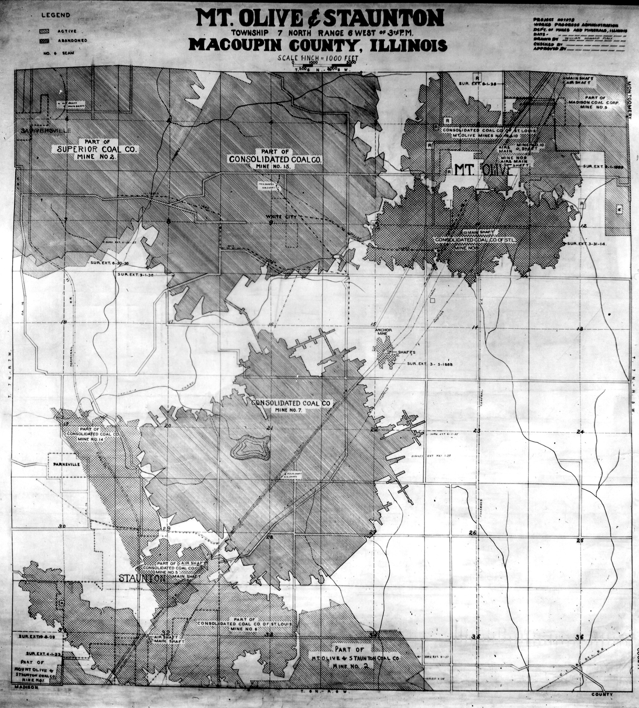
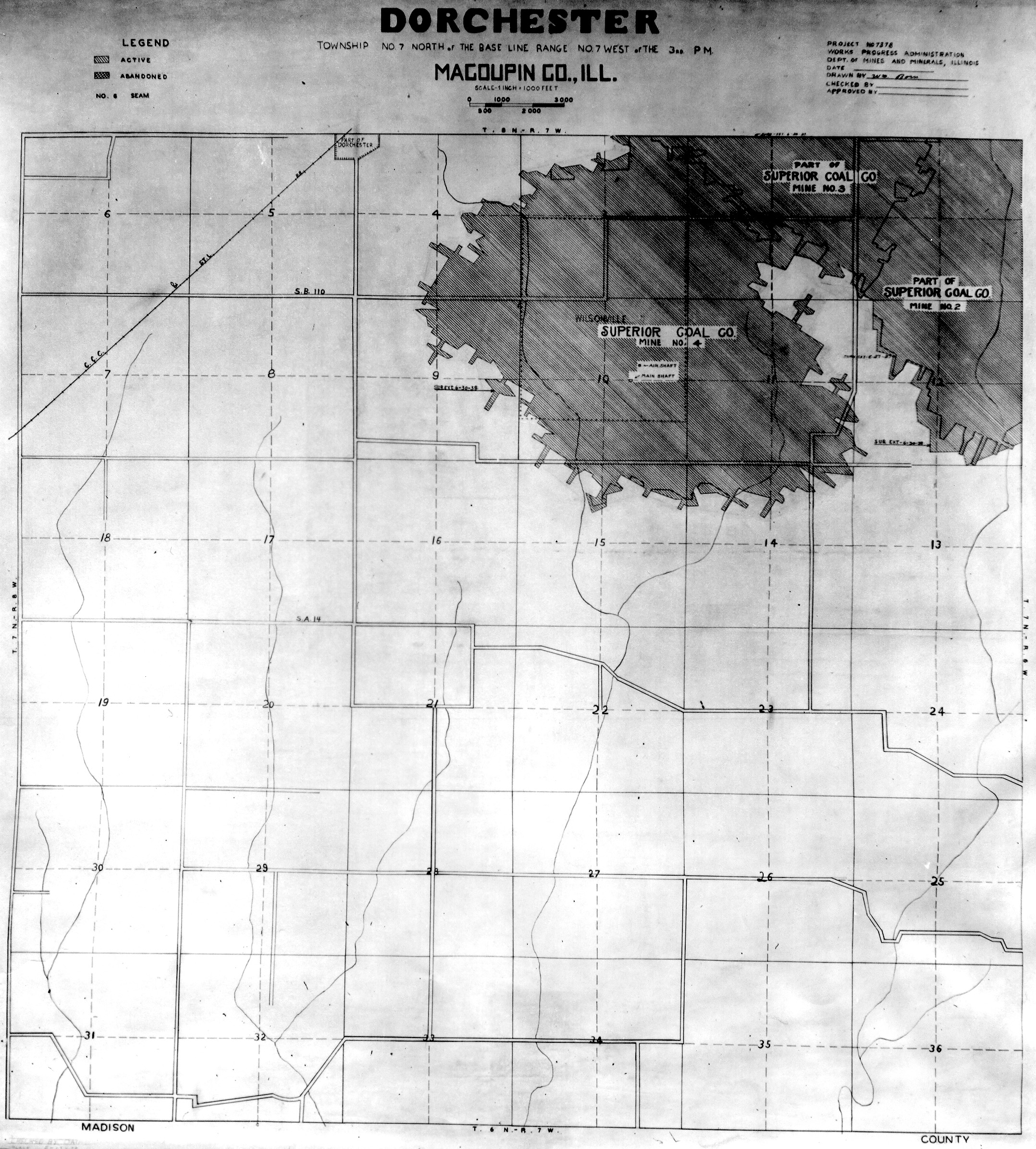
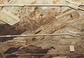
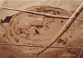
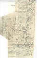
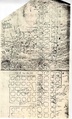
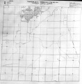
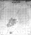
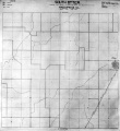
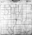
Historical Mined Out Area Maps
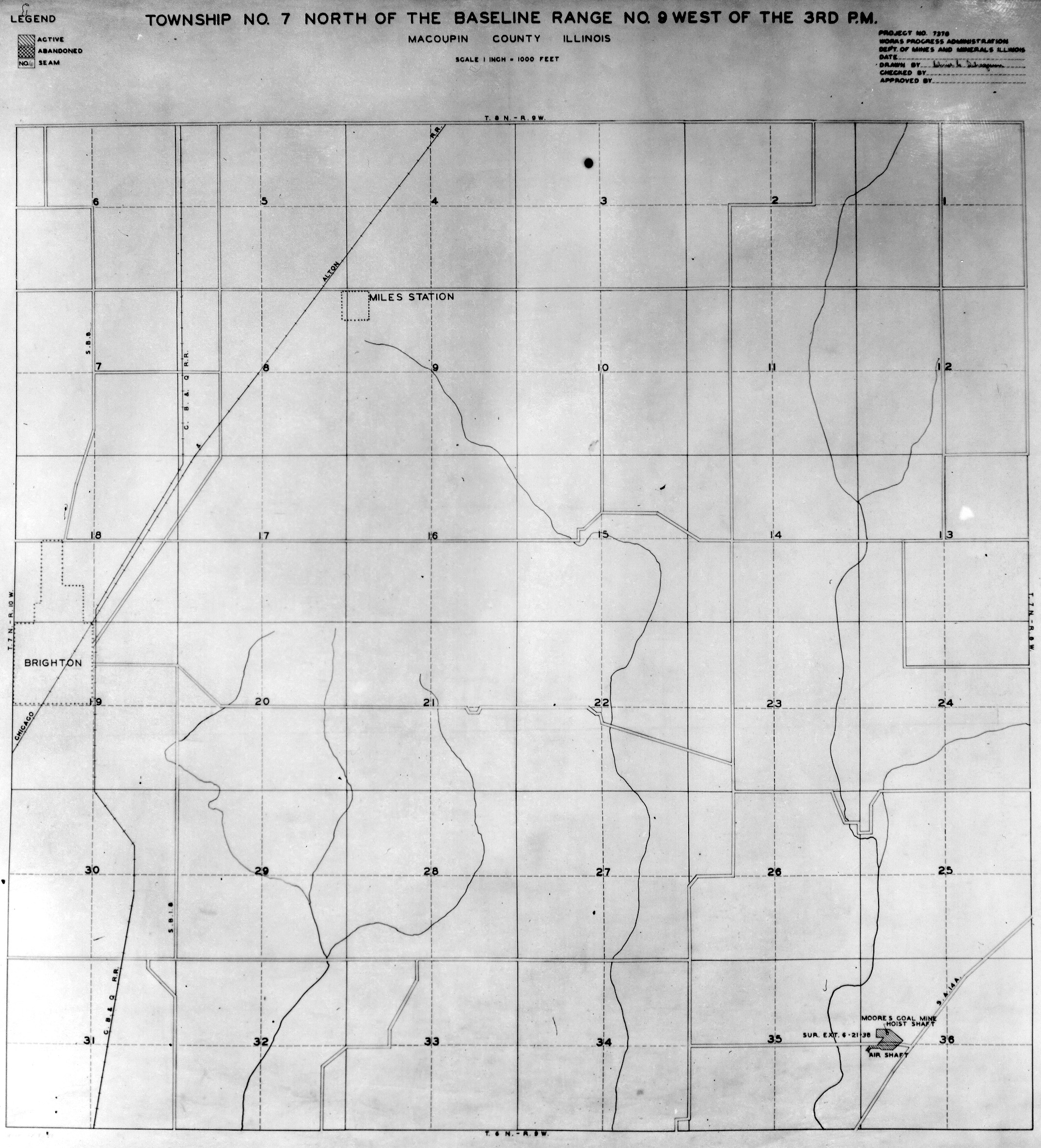
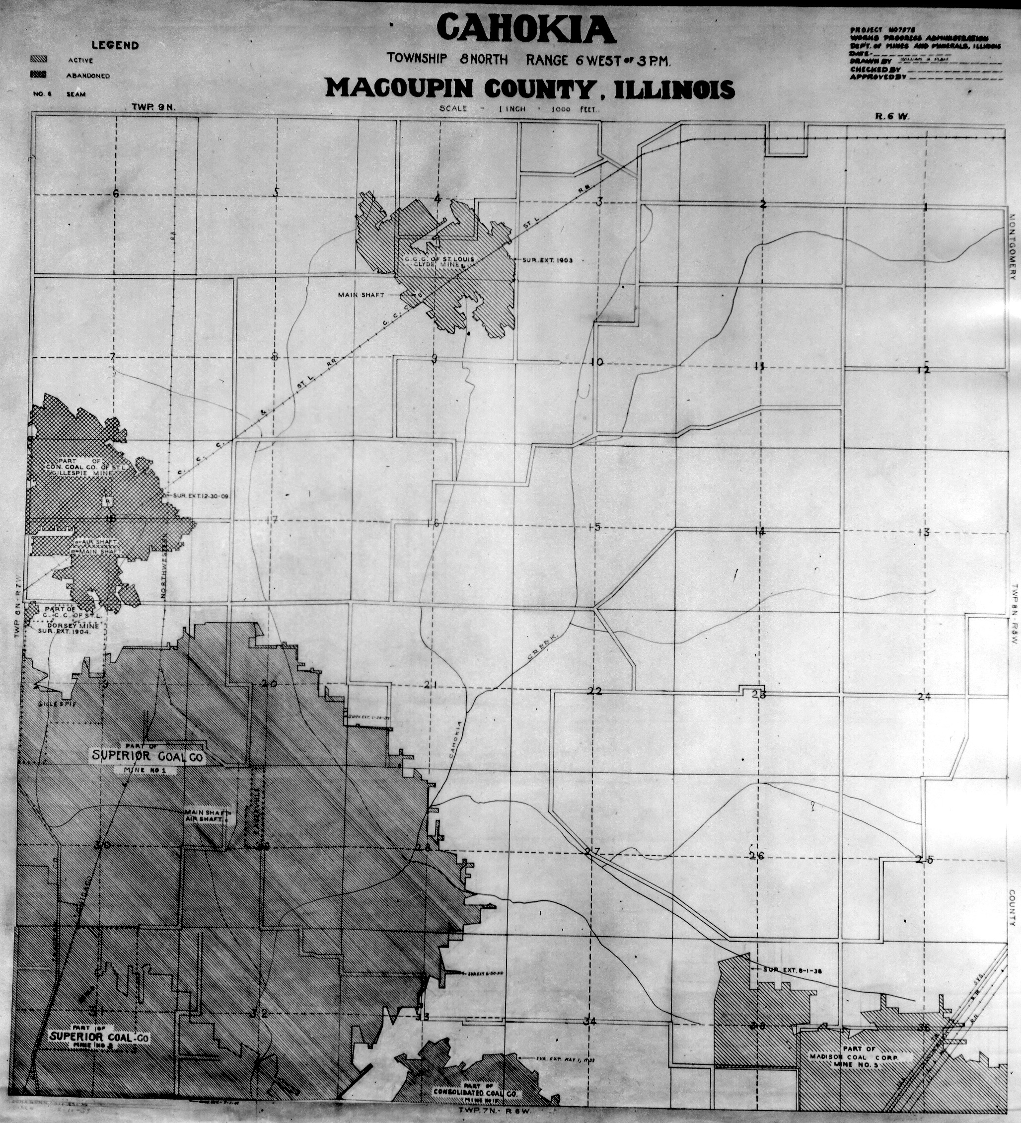
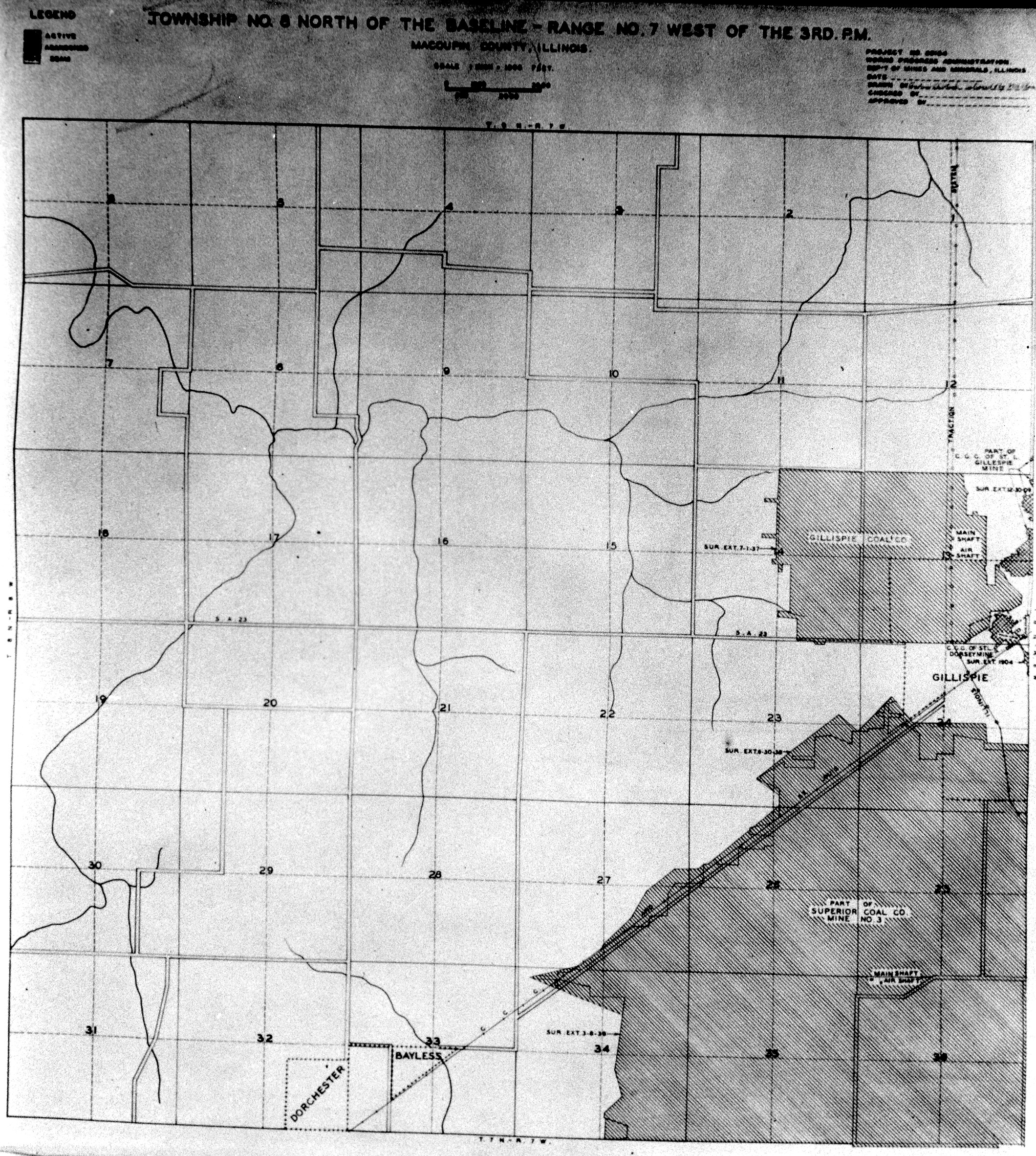
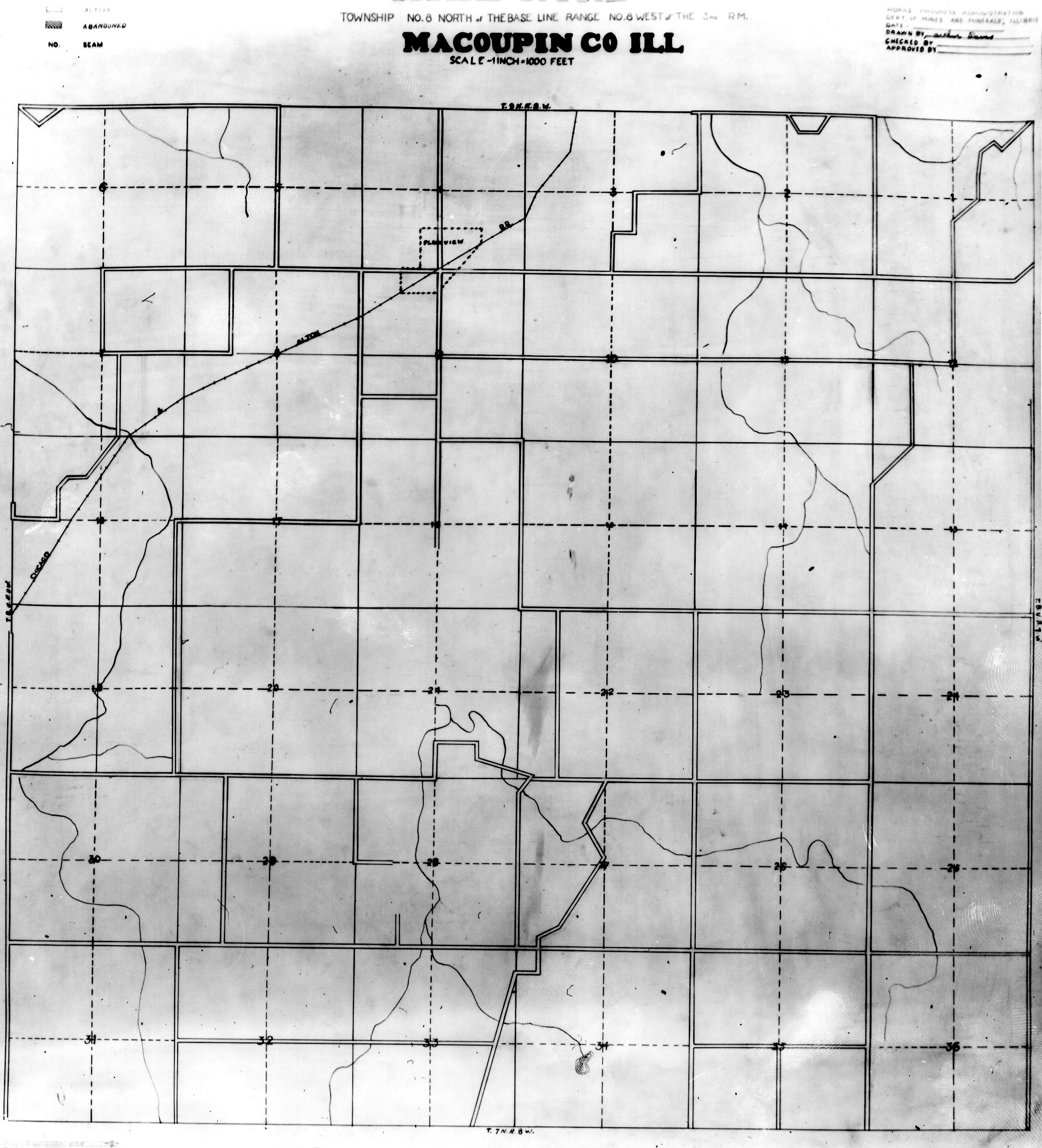
WPA
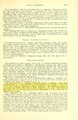
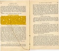
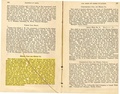
These maps were constructed as part of the nationwide Works Projects Administration (WPA), generally between 1934 and 1937 with some later updates or revisions,
Disclaimer
Maps for some locations might have multiple versions/seams, please inspected these areas closely for differences.
Notes and corrections were made by ISGS staff.
These maps are reproductions from microfilm, they may be of poor quality with text difficult to read.


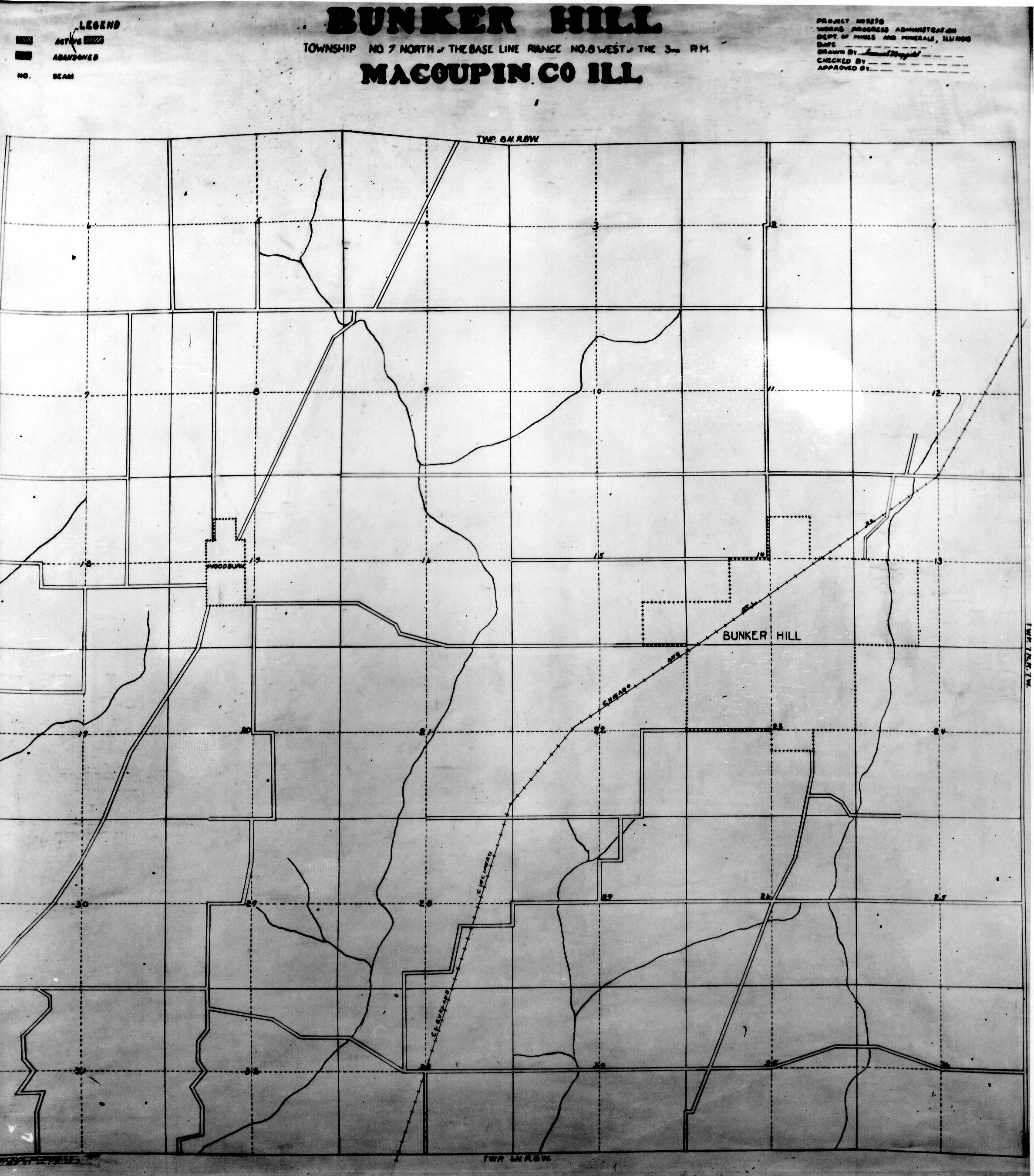
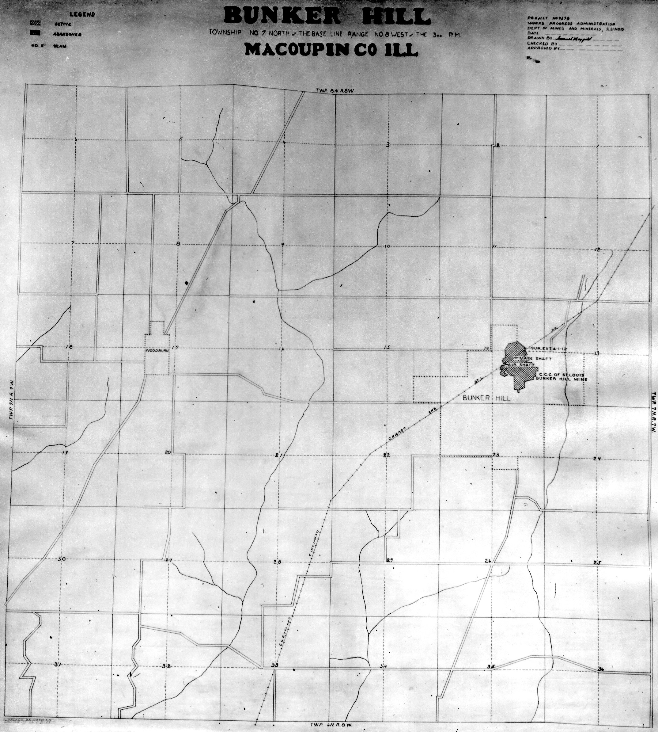
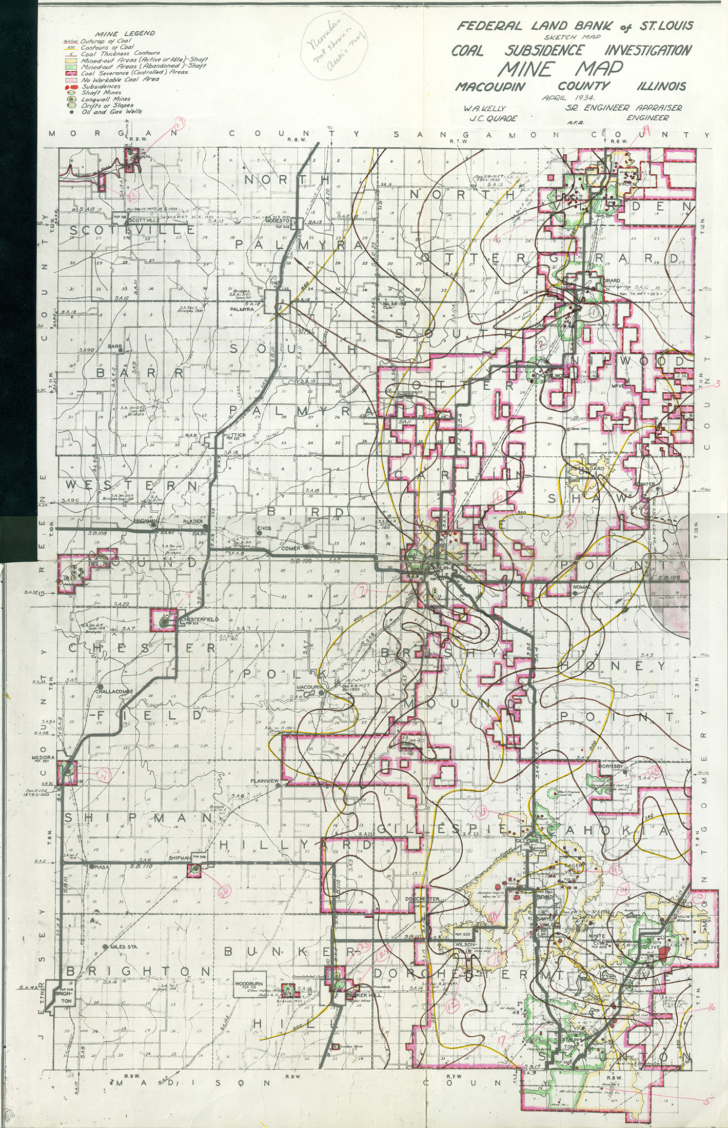
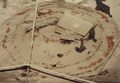
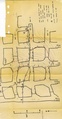
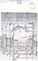
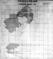
Federal Land Bank of St. Louis, Preliminary Reports on Subsidence Investigations
Federal Land Bank of St. Louis, Preliminary Reports on Subsidence Investigations (refered by Coal Section Staff as "Quade Maps")
Mining engineers working for the Federal Land Bank of St. Louis mapped areas of subsidence due to coal mining in the early 1930s. These reports often include county maps of mine properties with mined-out areas including shaft locations, as well as subsidence areas.
Disclaimer
Maps for some locations might have multiple versions/seams, please inspected these areas closely for differences.
These maps are accompanied by a report, please download and inspect this document.
Notes and corrections were made by ISGS staff.

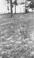
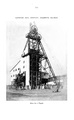
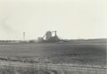
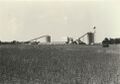
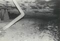
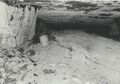
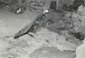
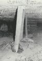
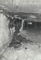
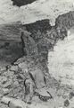
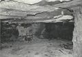
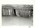
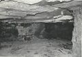
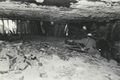
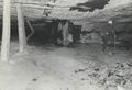
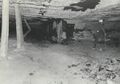
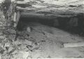
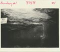
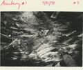
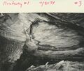
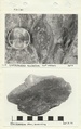
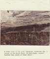
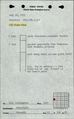
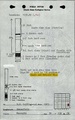
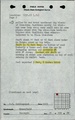
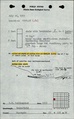
Photographs


Pages in category "Macoupin-County"
The following 200 pages are in this category, out of 208 total.
(previous page) (next page)0
2
3
6
7
9
M
- FileList:M0066 IL 1124
- FileList:M0067
- FileList:M0067b
- FileList:M0068 IL 1123
- FileList:M0069 Atlas 1875
- FileList:M0073 IL 2620
- FileList:M0073 IL 2646
- FileList:M0073 IL 47
- FileList:M0185 IL 1131 03
- FileList:M0186 IL 1115 01
- FileList:M0186 IL 1128 01
- FileList:M0186b
- FileList:M0187
- FileList:M0187 wpa
- FileList:M0188 IL 1130
- FileList:M0189 IL 727 03
- FileList:M0189 IL 805 03
- FileList:M0190 IL 1122 01
- FileList:M0190 IL 728
- FileList:M0228
- FileList:M0228 il 1101 01
- FileList:M0281 IL 1116 01
- FileList:M0413 IL 1126
- FileList:M0503 IL 1102
- FileList:M0761 IL 859 01
- FileList:M0761 IL 884 01
- FileList:M0762 IL 1127 03
- FileList:M0763mrg
- FileList:M0843 IL 1137
- FileList:M0886 2004
- FileList:M0886 2018
- FileList:M0886 2019
- FileList:M0886 2020
- FileList:M0933 final
- FileList:M0996
- FileList:M0996 6-381L
- FileList:M2796 IL 1665 01
- FileList:M2796 IL 1731 03
- FileList:M2796 IL 94 01
- FileList:M2894 IL 1103 03
- FileList:M2896
- FileList:M2897 atlas 1871
- FileList:M2898
- FileList:M2899
- FileList:M2901
- FileList:M2903
- FileList:M2904 wpa
- FileList:M2906 PB 125
- FileList:M2907
- FileList:M2908
- FileList:M2909 quade
- FileList:M2909a
- FileList:M2910 1894 atlas
- FileList:M2910 quade
- FileList:M2915
- FileList:M2916 quade
- FileList:M2916 sanborn 1886 page 2
- FileList:M2916 sanborn 1893 page 5
- FileList:M2931 IL 1125 03
- FileList:M2931 PB 1093 01
- FileList:M2932 PB 1029 01
- FileList:M2932 PB 1096 01
- FileList:M2932 quade
- FileList:M2933 quade
- FileList:M2934 IL 1121 01
- FileList:M2934b
- FileList:M2937 geo
Media in category "Macoupin-County"
The following 200 files are in this category, out of 208 total.
(previous page) (next page)
 M-1042 Superior Coal Mine no 2 Gillespie.jpg 2,568 × 4,378; 1.29 MB
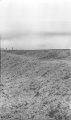 M-1044 sub fill L and M track SE of Staunton Consolidated no 6 mine.jpg 2,572 × 4,350; 1.09 MB
 M-1045 sub fill LandM track SE of Staunton Consolidated no 6 mine.jpg 2,584 × 4,338; 1.32 MB
 M0066 coalreport1905.pdf 633 × 977; 101 KB
 M0066 coalreport1906.pdf 1,679 × 1,283; 382 KB
 M0066 minenotes.pdf 731 × 1,202, 39 pages; 18.29 MB
 M0067 fieldnotes.pdf 754 × 1,200, 2 pages; 370 KB
 M0067 minenotes.pdf 731 × 1,202, 29 pages; 7.17 MB
 M0068 coalreport1904.pdf 1,675 × 1,237; 398 KB
 M0068 coalreport1905.pdf 633 × 977; 88 KB
 M0068 minenotes.pdf 731 × 1,202, 27 pages; 14.9 MB
 M0069 coalreport1885.pdf 1,652 × 1,293; 816 KB
 M0069 minenotes.pdf 733 × 1,202, 11 pages; 2.86 MB
 M0073 coalreport1905 p324.pdf 633 × 977; 127 KB
 M0073 minenotes.pdf 731 × 1,202, 28 pages; 7.08 MB
 M0185 coalreport1904.pdf 1,641 × 1,227; 483 KB
 M0185 minenotes.pdf 731 × 1,202, 17 pages; 4.52 MB
 M0186 coalreport1884.pdf 1,520 × 1,320, 2 pages; 712 KB
 M0186 fieldnotes.pdf 750 × 1,195; 203 KB
 M0186 minenotes.pdf 731 × 1,202, 20 pages; 5.4 MB
 M0187 minenotes.pdf 733 × 1,202, 13 pages; 3.79 MB
 M0188 coalreport1917.pdf 602 × 991; 82 KB
 M0188 coalreport1943.pdf 625 × 1,016; 112 KB
 M0188 minenotes.pdf 731 × 1,202, 103 pages; 26.99 MB
 M0189 coalreport1884.pdf 1,587 × 1,260; 362 KB
 M0189 coalreport1885.pdf 1,652 × 1,293; 817 KB
 M0189 coalreport1912.pdf 1,641 × 1,241, 2 pages; 765 KB
 M0189 minenotes.pdf 731 × 1,202, 33 pages; 13.02 MB
 M0190 coalreport1903.pdf 1,552 × 1,239; 309 KB
 M0190 coalreport1904.pdf 1,675 × 1,237; 399 KB
 M0190 minenotes.pdf 731 × 1,202, 14 pages; 3.62 MB
 M0228 minenotes.pdf 733 × 1,202, 14 pages; 4.03 MB
 M0281 coalreport1884.pdf 1,520 × 1,320; 353 KB
 M0281 coalreport1885.pdf 1,275 × 1,650; 306 KB
 M0281 minenotes.pdf 733 × 1,202, 13 pages; 3 MB
 M0282 coalreport1888.pdf 1,589 × 1,297; 999 KB
 M0282 coalreport1890.pdf 1,654 × 1,279; 141 KB
 M0282 coalreport1910.pdf 583 × 943; 69 KB
 M0282 minenotes.pdf 733 × 1,202, 23 pages; 5.85 MB
 M0413 coalreport1903.pdf 1,552 × 1,239; 308 KB
 M0413 coalreport1904.pdf 1,641 × 1,227, 2 pages; 879 KB
 M0413 minenotes.pdf 731 × 1,202, 28 pages; 12.74 MB
 M0503 coalreport1904.pdf 1,641 × 1,227, 2 pages; 879 KB
 M0503 minenotes.pdf 733 × 1,202, 51 pages; 13.45 MB
 M0761 coalreport1884.pdf 1,587 × 1,260; 361 KB
 M0761 coalreport1885.pdf 1,652 × 1,293; 818 KB
 M0761 minenotes.pdf 731 × 1,202, 5 pages; 1.1 MB
 M0762 coalreport1884.pdf 1,587 × 1,260; 366 KB
 M0762 minenotes.pdf 731 × 1,202, 5 pages; 1.1 MB
 M0763 coalreport1884.pdf 1,520 × 1,320; 355 KB
 M0763 coalreport1885.pdf 1,275 × 1,650; 304 KB
 M0763 coalreport1897.pdf 839 × 1,185, 4 pages; 814 KB
 M0763 minenotes.pdf 731 × 1,202, 11 pages; 2.84 MB
 M0843 minenotes.pdf 731 × 1,202, 27 pages; 7.55 MB
 M0886 minenotes 01.jpg 667 × 461; 48 KB
 M0886 minenotes 02.jpg 967 × 675; 118 KB
 M0886 minenotes 03.jpg 668 × 462; 68 KB
 M0886 minenotes 04.jpg 668 × 466; 73 KB
 M0886 minenotes 05.jpg 667 × 458; 69 KB
 M0886 minenotes 06.jpg 459 × 670; 61 KB
 M0886 minenotes 07.jpg 457 × 667; 77 KB
 M0886 minenotes 08.jpg 460 × 665; 86 KB
 M0886 minenotes 09.jpg 667 × 460; 78 KB
 M0886 minenotes 10 a.jpg 3,008 × 2,412; 535 KB
 M0886 minenotes 10 b.jpg 666 × 462; 79 KB
 M0886 minenotes 10.jpg 671 × 447; 72 KB
 M0886 minenotes 11.jpg 667 × 458; 63 KB
 M0886 minenotes 12 a.jpg 660 × 461; 63 KB
 M0886 minenotes 12.jpg 665 × 466; 77 KB
 M0886 minenotes 13.jpg 697 × 603; 66 KB
 M0886 minenotes 14.jpg 681 × 579; 94 KB
 M0886 minenotes 15.jpg 664 × 566; 88 KB
 M0886 minenotes 16.jpg 680 × 553; 98 KB
 M0886 minenotes 17.jpg 675 × 559; 95 KB
 M0886 minenotes 18.jpg 740 × 523; 97 KB
 M0886 minenotes 19.jpg 747 × 528; 74 KB
 M0886 minenotes 19b.jpg 3,001 × 2,065; 554 KB
 M0886 minenotes 20 b.jpg 2,986 × 2,064; 486 KB
 M0886 minenotes 20.jpg 736 × 523; 78 KB
 M0886 minenotes.pdf 745 × 1,266, 108 pages; 47.53 MB
 M0933 minenotes Part01.pdf 764 × 1,208, 65 pages; 29.79 MB
 M0933 minenotes Part02.pdf 700 × 1,181, 126 pages; 29.75 MB
 M0933 minenotes Part03.pdf 695 × 1,066, 121 pages; 29.83 MB
 M0933 minenotes Part04.pdf 977 × 1,514, 103 pages; 29.65 MB
 M0933 minenotes Part05.pdf 1,235 × 2,041, 80 pages; 29.82 MB
 M0933 minenotes Part06.pdf 1,243 × 2,389, 90 pages; 29.89 MB
 M0933 minenotes Part07.pdf 743 × 1,179, 93 pages; 29.93 MB
 M0933 minenotes Part08.pdf 718 × 797, 93 pages; 29.35 MB
 M0933 minenotes Part09.pdf 752 × 883, 93 pages; 29.67 MB
 M0933 minenotes Part10.pdf 737 × 1,168, 105 pages; 29.97 MB
 M0933 minenotes Part11.pdf 1,112 × 1,508, 6 pages; 2.4 MB
 M0996 minenotes.pdf 737 × 1,202, 131 pages; 37.77 MB
 M2796 coalreport1897 p120.pdf 839 × 1,185; 190 KB
 M2796 minenotes.pdf 731 × 1,202, 6 pages; 1.44 MB
 M2894 coalreport1884.pdf 1,587 × 1,260; 360 KB
 M2894 minenotes.pdf 733 × 1,202, 4 pages; 888 KB
 M2895 coalreport1884.pdf 1,587 × 1,260; 360 KB
 M2895 coalreport1885.pdf 1,652 × 1,293; 818 KB
 M2895 minenotes.pdf 733 × 1,202, 4 pages; 884 KB
 M2896 minenotes.pdf 731 × 1,202, 4 pages; 883 KB
 M2897 coalreport1884.pdf 1,600 × 1,266, 2 pages; 622 KB
 M2897 minenotes.pdf 731 × 1,202, 4 pages; 888 KB
 M2898 fieldnotes.pdf 750 × 1,187; 240 KB
 M2898 minenotes.pdf 733 × 1,202, 4 pages; 906 KB
 M2899 minenotes.pdf 733 × 1,202, 4 pages; 918 KB
 M2900 minenotes.pdf 733 × 1,202, 3 pages; 605 KB
 M2901 minenotes.pdf 733 × 1,202, 4 pages; 811 KB
 M2903 minenotes.pdf 733 × 1,202, 6 pages; 1.29 MB
 M2904 fieldnotes.pdf 750 × 1,195; 206 KB
 M2904 minenotes.pdf 731 × 1,202, 4 pages; 868 KB
 M2905 minenotes.pdf 731 × 1,202, 2 pages; 353 KB
 M2906 fieldnotes.pdf 750 × 1,187; 204 KB
 M2906 minenotes.pdf 731 × 1,202, 4 pages; 866 KB
 M2907 coalreport1884.pdf 1,520 × 1,320; 355 KB
 M2907 coalreport1885.pdf 1,652 × 1,293; 818 KB
 M2907 coalreport1906.pdf 1,662 × 1,277; 432 KB
 M2907 minenotes.pdf 731 × 1,202, 9 pages; 2.38 MB
 M2908 coalreport1884.pdf 1,520 × 1,320; 352 KB
 M2908 coalreport1885.pdf 1,275 × 1,650; 303 KB
 M2908 minenotes.pdf 731 × 1,202, 7 pages; 1.59 MB
 M2909 coalreport1884.pdf 1,591 × 1,243; 370 KB
 M2909 coalreport1885.pdf 1,275 × 1,650; 301 KB
 M2909 minenotes.pdf 733 × 1,202, 3 pages; 696 KB
 M2910 coalreport1890.pdf 1,656 × 1,283; 158 KB
 M2910 coalreport1891.pdf 793 × 1,275; 145 KB
 M2910 minenotes.pdf 733 × 1,202, 4 pages; 914 KB
 M2911 coalreport1883.pdf 1,245 × 1,575; 898 KB
 M2911 coalreport1884.pdf 1,591 × 1,243; 368 KB
 M2911 coalreport1885.pdf 1,275 × 1,650; 308 KB
 M2911 coalreport1887.pdf 1,302 × 1,656; 839 KB
 M2911 coalreport1893.pdf 1,666 × 1,227; 394 KB
 M2911 minenotes.pdf 733 × 1,202, 6 pages; 1.4 MB
 M2912 minenotes.pdf 733 × 1,202, 2 pages; 331 KB
 M2915 coalreport1919.pdf 804 × 1,262; 79 KB
 M2915 minenotes.pdf 733 × 1,202, 11 pages; 6.59 MB
 M2916 coalreport1885.pdf 1,275 × 1,650; 299 KB
 M2916 minenotes.pdf 733 × 1,202, 7 pages; 1.57 MB
 M2917 minenotes.pdf 731 × 1,202, 2 pages; 327 KB
 M2918 minenotes.pdf 731 × 1,202, 4 pages; 913 KB
 M2919 minenotes.pdf 731 × 1,202, 3 pages; 603 KB
 M2920 minenotes.pdf 731 × 1,202, 4 pages; 881 KB
 M2921 minenotes.pdf 731 × 1,202, 2 pages; 316 KB
 M2922 minenotes.pdf 731 × 1,202, 3 pages; 645 KB
 M2923 minenotes.pdf 731 × 1,202, 2 pages; 321 KB
 M2924 minenotes.pdf 731 × 1,202, 3 pages; 630 KB
 M2925 minenotes.pdf 731 × 1,202, 4 pages; 907 KB
 M2926 minenotes.pdf 731 × 1,202, 4 pages; 835 KB
 M2927 minenotes.pdf 731 × 1,202, 2 pages; 350 KB
 M2928 minenotes.pdf 731 × 1,202, 3 pages; 637 KB
 M2929 fieldnotes.pdf 754 × 1,187, 2 pages; 414 KB
 M2929 minenotes.pdf 731 × 1,202, 3 pages; 640 KB
 M2930 minenotes.pdf 731 × 1,202, 4 pages; 846 KB
 M2931 coalreport1895.pdf 750 × 1,185; 130 KB
 M2931 minenotes.pdf 731 × 1,202, 9 pages; 1.94 MB
 M2932 coalreport1884.pdf 1,520 × 1,320; 354 KB
 M2932 coalreport1885.pdf 1,652 × 1,293; 821 KB
 M2932 minenotes.pdf 731 × 1,202, 6 pages; 1.44 MB
 M2933 minenotes.pdf 731 × 1,202, 4 pages; 874 KB
 M2934 coalreport1884.pdf 1,591 × 1,243; 370 KB
 M2934 coalreport1885.pdf 1,275 × 1,650; 313 KB
 M2934 minenotes.pdf 731 × 1,202, 8 pages; 2.01 MB
 M2935 minenotes.pdf 733 × 1,202, 3 pages; 650 KB
 M2936 minenotes.pdf 733 × 1,202, 4 pages; 807 KB
 M2937 fieldnotes.pdf 752 × 1,204, 2 pages; 436 KB
 M2937 minenotes.pdf 733 × 1,202, 4 pages; 808 KB
 M4538 fieldnotes.pdf 747 × 1,200, 5 pages; 954 KB
 M4541 minenotes.pdf 733 × 1,202; 248 KB
 M4548 minenotes.pdf 731 × 1,202, 2 pages; 510 KB
 M4551-2929-2928 fieldnotes 30 10n9w.pdf 754 × 1,187, 2 pages; 388 KB
 M4554 minenotes.pdf 733 × 1,202, 6 pages; 1.28 MB
 M4555 minenotes.pdf 733 × 1,202, 5 pages; 1.07 MB
 M6692 minenotes.pdf 733 × 1,202; 236 KB
 M7589 fieldnotes.pdf 747 × 1,193; 178 KB
 M7842 fieldnotes.pdf 750 × 1,200; 242 KB
 M7843.pdf 764 × 1,206, 2 pages; 361 KB
 M7844 fieldnotes.pdf 762 × 1,212, 3 pages; 594 KB
 M7849 fieldnote.pdf 747 × 1,202; 220 KB
 M7859 fieldnotes.pdf 750 × 1,200, 3 pages; 614 KB
 M7860 fieldnotes.pdf 750 × 1,200; 217 KB
 M7861 fieldnotes.pdf 764 × 1,206, 2 pages; 395 KB
 M7862 fieldnotes.pdf 752 × 1,202; 202 KB
 M7863 fieldnotes.pdf 752 × 1,202; 262 KB
 M7864 fieldnotes.pdf 747 × 1,202; 207 KB
 M7865 fieldnotes.pdf 750 × 1,202, 2 pages; 413 KB
 M7866 fieldnotes.pdf 754 × 1,206; 311 KB
 M7878 fieldnotes.pdf 747 × 1,202; 220 KB
 M7880 fieldnotes.pdf 752 × 1,204, 3 pages; 581 KB
 M7881 fieldnote.pdf 747 × 1,193; 209 KB
 M7882 fieldnotes.pdf 747 × 1,191; 203 KB
 M91170007 minenotes.pdf 733 × 1,202; 231 KB
 M91170010 coalreport1884.pdf 1,520 × 1,320; 352 KB
 M91170019 minenotes.pdf 733 × 1,202; 267 KB
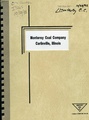 Monterey Mine No 1 and No 2 by Monterey Coal Co 1992.pdf 1,270 × 1,706, 49 pages; 10.87 MB
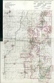 QUADE MACOUPIN.jpg 1,419 × 2,200; 1.37 MB
 WPA MACOUPIN 10N6W.jpg 1,987 × 2,025; 953 KB
 WPA MACOUPIN 10N7W.jpg 2,040 × 2,300; 1.22 MB
 WPA MACOUPIN 11N6W.jpg 2,028 × 2,224; 1.21 MB
 WPA MACOUPIN 11N7W.jpg 2,168 × 2,364; 1.32 MB
 WPA MACOUPIN 12N6W.jpg 2,144 × 2,352; 1.5 MB
 WPA MACOUPIN 12N9W.jpg 2,268 × 2,508; 1.36 MB