File:M-821 Coop 17 Fig 31 Dering Coal Co Danville District.jpg
Size of this preview: 800 × 470 pixels. Other resolutions: 2,560 × 1,503 pixels | 4,388 × 2,577 pixels.
Original file (4,388 × 2,577 pixels, file size: 1.22 MB, MIME type: image/jpeg)
| Mine Index(s): | |
| Mine Company: | |
| Mine Name | |
| Photo Date | pre-1914 |
| Photo Credit | Illinois State Geological Survey |
| ISGS Library Call Number | M-821 |
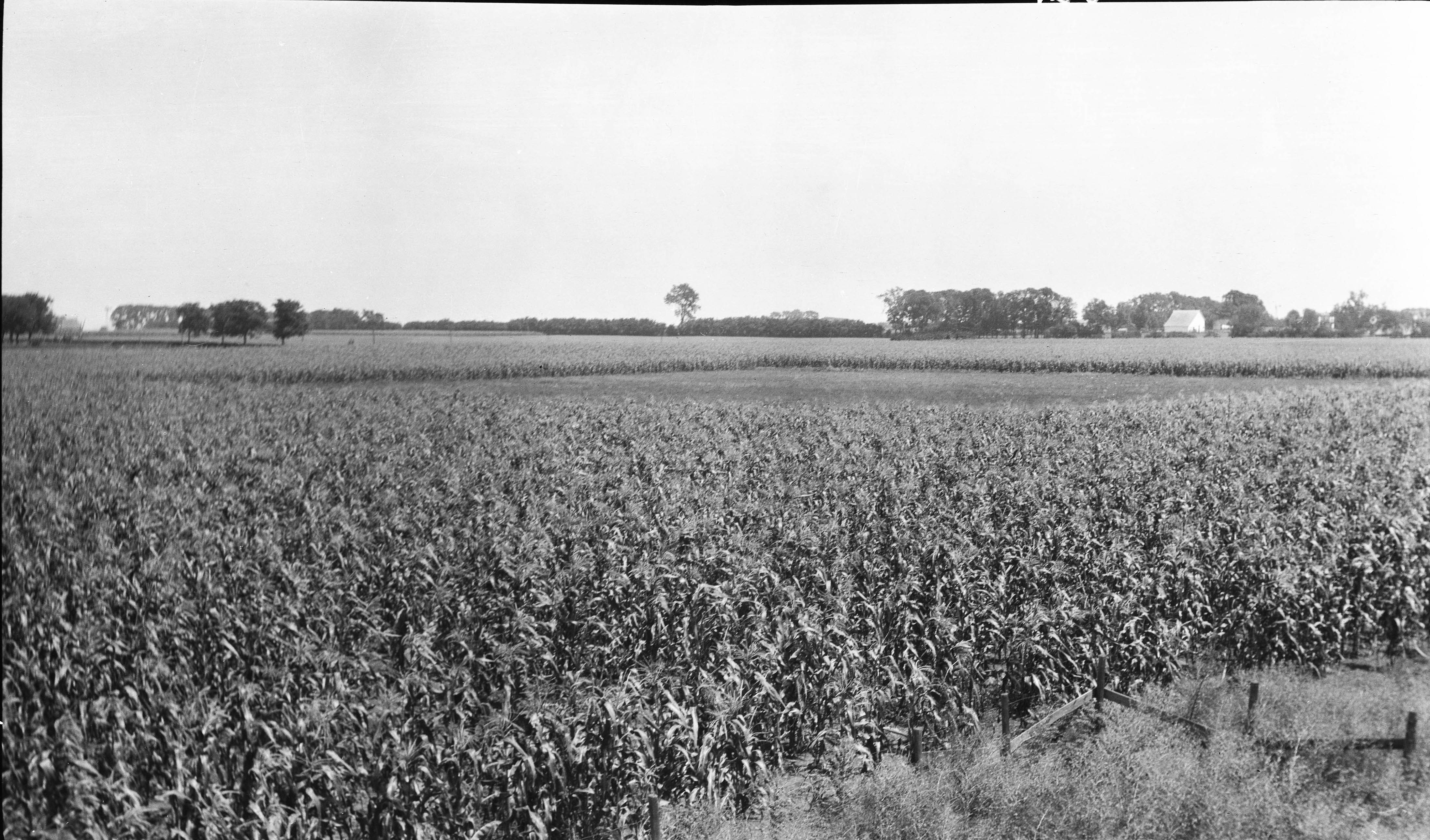
| Caption | Open space south of Danville about 200 feet square in cornfield, indicating that area is not tilled because water stands over the sage in the spring. |
| Publication | Fig. 31 Cooperative Bulletin 17 – Subsidence in Illinois |
File history
Click on a date/time to view the file as it appeared at that time.
| Date/Time | Thumbnail | Dimensions | User | Comment | |
|---|---|---|---|---|---|
| current | 13:32, January 24, 2019 | | 4,388 × 2,577 (1.22 MB) | Alan.Myers (talk | contribs) | |
| 11:51, January 18, 2019 | 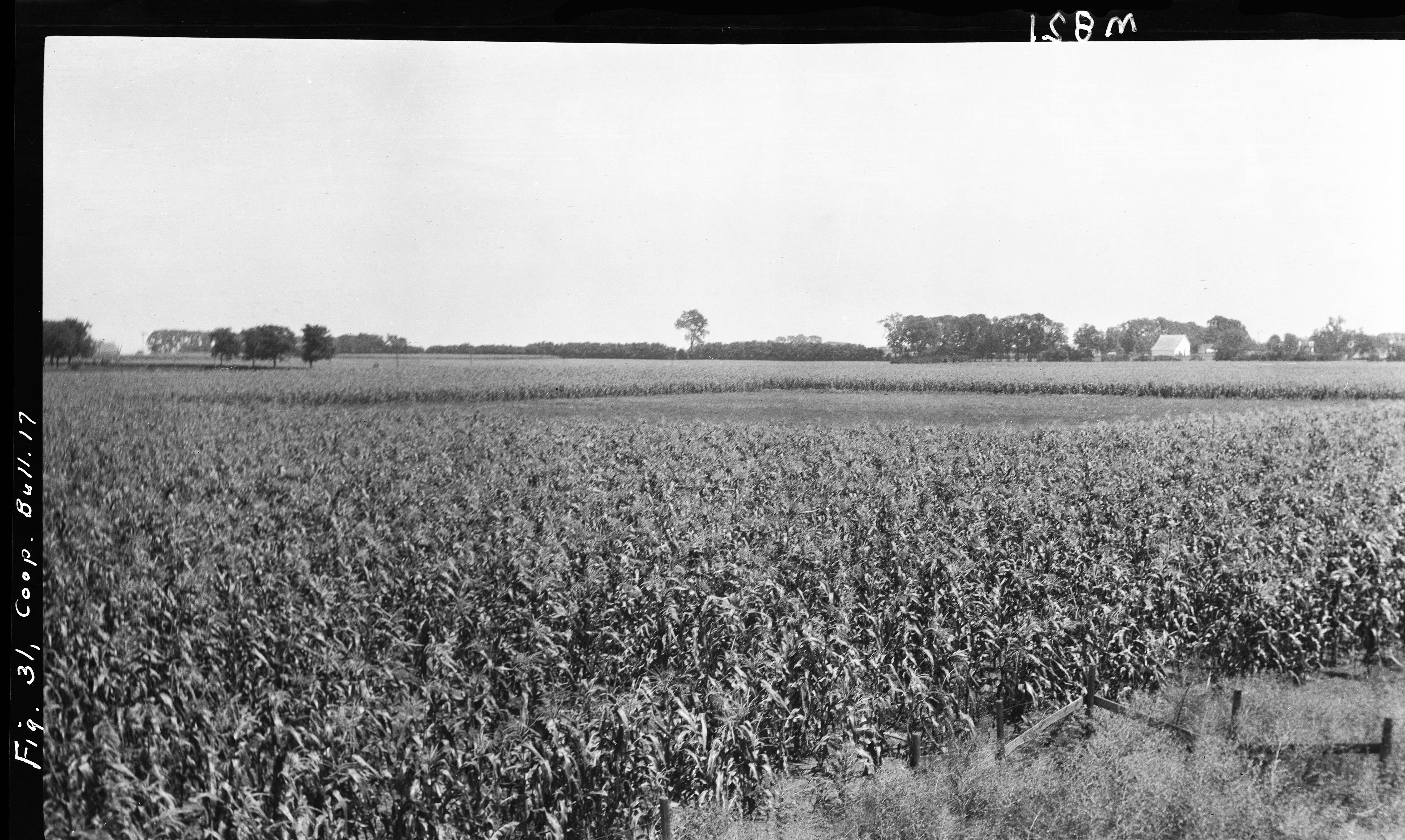 | 4,520 × 2,703 (1.36 MB) | Alan.Myers (talk | contribs) |
You cannot overwrite this file.
File usage
The following 3 pages use this file: