Mine Index Number: 0109
| Company Name:
|
Brewerton Coal Company
|
| Mine Name:
|
Brewerton No. 3 Mine
|
| Start Date:
|
1883
|
End Date:
|
February 1925
|
| Type of Mine:
|
Underground
|
| Total acres shown:
|
1,184
|
| Acres after map date:
|
70
|
General Area of mining acres shown:
|
|
|
|
Shaft, Slope, Drift or Tipple Location(s)
| Type
|
County
|
Township-Range
|
Section
|
Part Section
|
| Main shaft
|
Logan
|
20N 2W
|
32
|
SW SW NW
|
| Air / escape shaft
|
Logan
|
20N 2W
|
32
|
SW SW NW
|
Geology
| Springfield
|
266
|
3.0
|
5.1
|
5.0
|
MRP
|
Geological Problems Reported
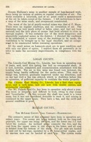
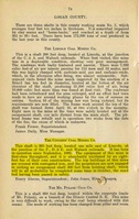
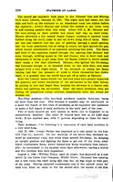
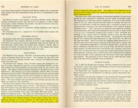
A water-saturated layer of gravel was present approximately 50 feet below the surface, which allowed water to seep down the shaft. Clay dikes or ‘horsebacks’ were common. One observer noted them every 10 to 15 feet.
Production
| Company
|
Mine Name
|
Date
|
Production (tons)
|
|
|
|
|
|
| Total Production: 4,241,119
|
Production Notes
Coal Report production (if available)
Sources of Data
| Microfilm, document 352532
|
03-31-1922
|
1:2400
|
1:4966
|
Not final
|
Annotated Bibliography (Data source - brief description of information)
| Coal Reports - Production, ownership, years of operation.
|
| Directory of Illinois Coal Mines (Logan County) - Mine names, mine index, ownership, years of operation.
|
| Mine notes (Logan County) - Mine type, shaft location, seam, depth, thickness, geologic problems.
|
| Microfilm map, document 352532, reel 03139, frames 255-256 - Shaft location, mine outline.
|
Mine Notes
Mine Images
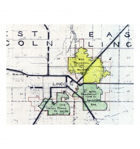
Map library: 4103.L6 i5.1-3
Map Date: 11-1934
Coal Co.: Brewerton Coal Company
Mine Name: Brewerton No. 92 Mine
Image Credit: Illinois State Geological Survey
Full Res Download
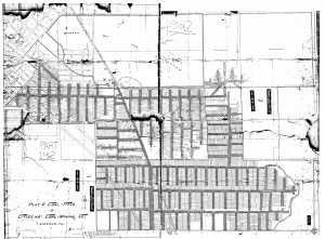
Microfilm: 352532
Map Date: 3-31-1922
Coal Co.: Brewerton Coal Company
Mine Name: Brewerton No. 3 Mine
Full Res Download
Photographs

