FileList:M1041 2022
|
These files may not be true to scale and are not georgistered. |
|---|
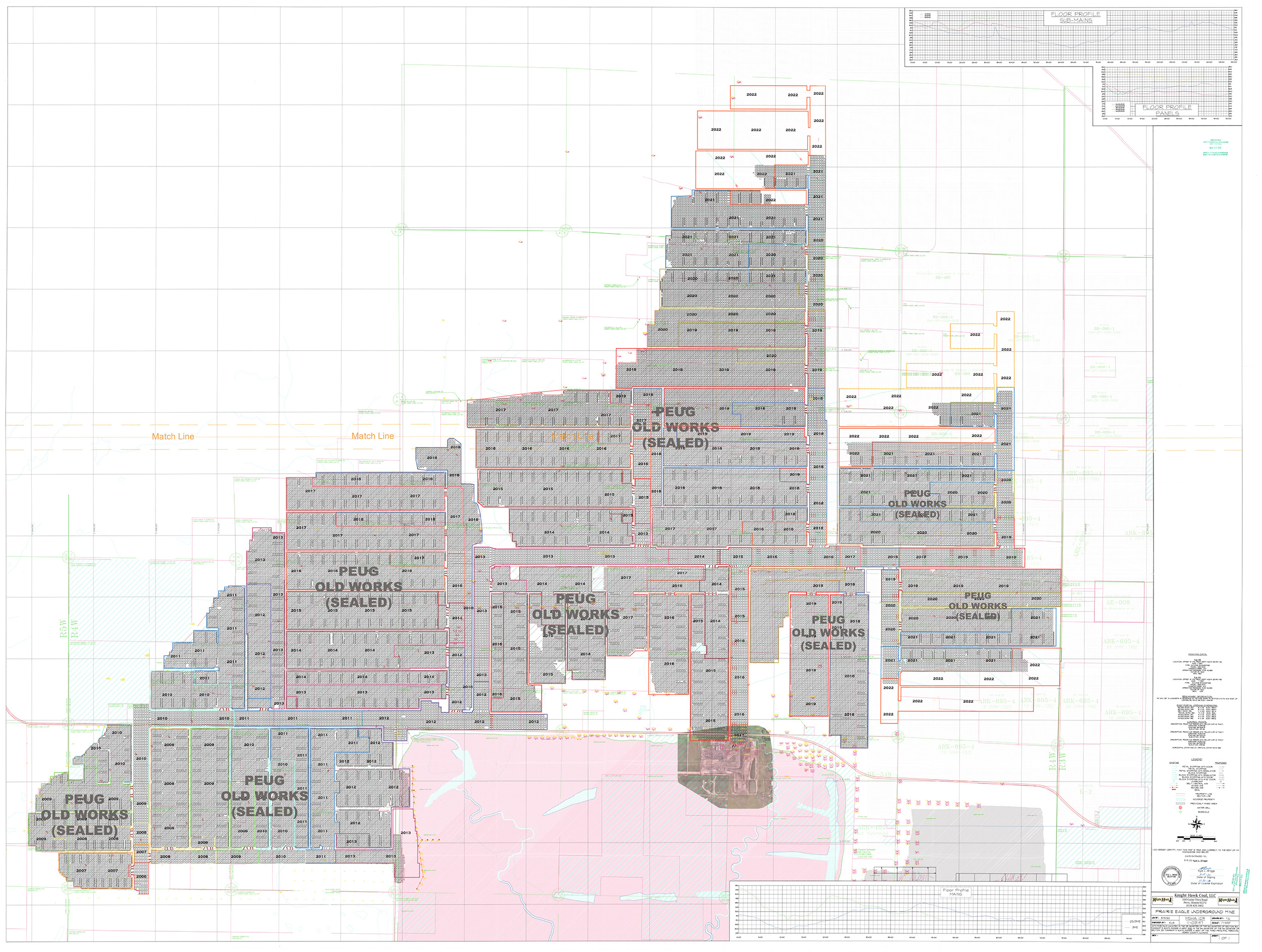
| Mine Index(s): | 1041 |
| ID Name/Number: | 6-426N |
| File Type: | Map |
| Mine Company: | Knight Hawk Coal |
| Mine Name | Prairie Eagle Underground |
| Date | 03/15/2022 |
| Map Type | Company |
| Map Status | Not Final |
| Map Scale | 1:4800 |
| File Credit | |
| Caption | |
| Publication | |
| Note: | |
| DownloadThese files are true to scale and most are georegistered for gis software. | Click to download |