Mine Index Number: 0222
| Company Name:
|
Pana Coal Company
|
| Mine Name:
|
Pana No. 2 Mine
|
| Start Date:
|
1887
|
End Date:
|
1928
|
| Type of Mine:
|
Underground
|
| Total acres shown:
|
623
|
| Acres after map date:
|
|
General Area of mining acres shown:
|
|
|
|
Shaft, Slope, Drift or Tipple Location(s)
| Type
|
County
|
Township-Range
|
Section
|
Part Section
|
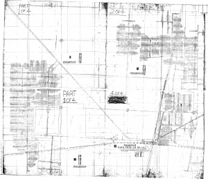
| Main shaft This mine was connected underground to the Pana No. 1 Mine (mine index 729). The source map also shows the location of booster fans in strategic locations in the mine, which allowed them to operate without the construction of air shafts separate from the main shaft.
|
Christian
|
11N 1E
|
15
|
SW NW NW
|
Geology
| Herrin
|
714-732
|
6.5
|
8.0
|
7.5
|
MRP
|
Geological Problems Reported
According to Netzeband (August 1921) in the Coal Section mine notes, “Lateral pressure is very great in this mine and posts set with a pitch of several degrees are soon pushed straight and eventually pitch in the opposite direction. The vertical pressure causes the coal to rash (chip off the ribs) and requires lagging and filling behind the lagging.” The shale roof required heavy timbering, so when the shale was thin, it was shot down with the coal to leave a limestone roof. This shale varied from a well bedded (western part of mine) or massive (eastern part of mine) black shale to a dark gray massive shale. The shale varied in thickness from a feather edge to 8 feet. A brown limestone 1 to 2 feet thick was present in the eastern side of the mine. Slips were present in the shale roof and the upper part of the coal. The seam contained the usual blue band that ranged from 1/4 inch to 3/4 inches. A few slips were observed in the eastern part of the mine, with no discernible displacement. Pyrite lenses and calcite or gypsum fracture facings were present in the seam, throughout the coal both laterally and vertically. The underclay in the western part of the mine was soft and heaved when moistened. The main haulage route in that part of the mine had to be retimbered twice because of the heaving, and had already heaved another 2 feet at the time of the visit. The eastern part of the mine had a firmer clay and no trouble with heaving.
Production
| Company
|
Mine Name
|
Date
|
Production (tons)
|
|
|
|
|
|
| Total Production: 3,106,206
|
Production Notes
Coal Report production (if available)
Sources of Data
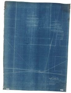
| Microfilm, document 351385
|
2-1948
|
1:2400
|
1:5131
|
Final
|
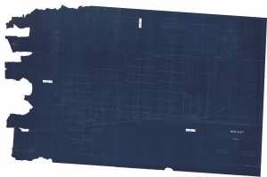
| Company, IL_503
|
7-1909
|
1:2400
|
1:2400
|
Not final
|
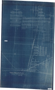
| Company, IL_504
|
4-1929
|
1:2400
|
1:2400
|
Final
|
Annotated Bibliography (Data source - brief description of information)
| Coal Reports - Production, ownership, years of operation.
|
| Directory of Illinois Coal Mines (Christian County) - Mine names, mine index, ownership, years of operation.
|
| Mine notes (Christian County) - Mine type, seam, depth, thickness, geologic problems.
|
| Microfilm map, document 351385, reel 03135, frames 439-442 - Shaft location, mine outline, mining method.
|
| Company map, state archive, IL_503 - Mine outline (western, eastern central).
|
| Company map, state archive, IL_504 - Mine outline (interior mine workings).
|
Mine Notes
Mine Images
Company: IL_503
Map Date: 7-1909
Coal Co.: Pana Coal Company
Mine Name: Pana No. 1 Mine
Image Credit: Illinois Department of Natural Resources - Office of Mines and Minerals
Full Res Download
Company: IL_504
Map Date: 4-1929
Coal Co.: Pana Coal Company
Mine Name: Pana No. 2 Mine
Full Res Download
Company: IL_516
Map Date: 3-1920
Coal Co.: Pana Coal Company
Mine Name: Pana No. 1 Mine
Image Credit: Illinois Department of Natural Resources - Office of Mines and Minerals
Full Res Download
Microfilm: 351385
Map Date: 2-1948
Coal Co.: Pana Coal Company
Mine Name: Pana No. 2 Mine
Full Res Download
Photographs

