Mine Index Number: 0371
| Company Name:
|
Oldroyd Coal Company
|
| Mine Name:
|
Penwell Mine
|
| Start Date:
|
1888
|
End Date:
|
1945
|
| Type of Mine:
|
Underground
|
| Total acres shown:
|
1,902
|
| Acres after map date:
|
|
General Area of mining acres shown:
|
|
|
|
Shaft, Slope, Drift or Tipple Location(s)
| Type
|
County
|
Township-Range
|
Section
|
Part Section
|
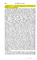
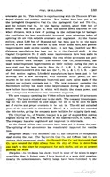
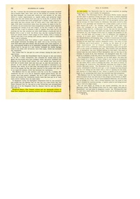
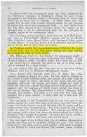
| Main shaft The mine was connected underground to Springside Mine (mine index 221) for escapement. This connection was completed in 1893, and was on the east side of the mine. After a fire in 1907, the west side of the mine was connected underground to the Pana No. 1 Mine (mine index 729) to ensure a safe escapement from either side of the mine. The source map also shows the location of booster fans in strategic locations in the mine, which allowed them to operate without the construction of air shafts separate from the main shaft.
|
Christian
|
11N 1E
|
21
|
NW SE NE
|
Geology
| Herrin
|
724-732
|
6.0
|
10.0
|
7.5
|
RPP,HERsome HER
|
Geological Problems Reported
Many slips were present in the roof, making unstable roof. Gas was present at the face and in the old workings.
Production
| Company
|
Mine Name
|
Date
|
Production (tons)
|
|
|
|
|
|
| Total Production: 9,137,055
|
Production Notes
Coal Report production (if available)
Sources of Data
| Microfilm, document 351396
|
7-1947
|
1:2400
|
1:5297
|
Final
|
Annotated Bibliography (Data source - brief description of information)
| Coal Reports - Production, ownership, years of operation, geologic problems.
|
| Directory of Illinois Coal Mines (Christian County) - Mine names, mine index, ownership, years of operation.
|
| ENR Document 85/01 - Mining method.
|
| Mine notes (Christian County) - Mine type, seam, depth, thickness, geologic problems.
|
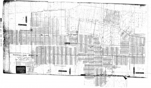
| Microfilm map, document 351396, reel 03135, frames 482-484 - Shaft location, mine outline, mining method.
|
Mine Notes
Mine Images
Microfilm: 351396
Map Date: 7-1947
Coal Co.: Oldroyd Coal Company
Mine Name: Penwell Mine
Full Res Download
Photographs

