Category:Macon-County
County Coal Data
Mines that Appear in Macon-County
- 9998 & 9999 = Unknown dates
Unlocated Mines in Macon-County
Mine that have known coal production but no known location
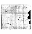
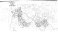
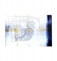
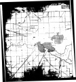
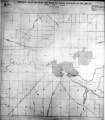
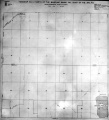
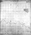
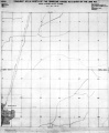
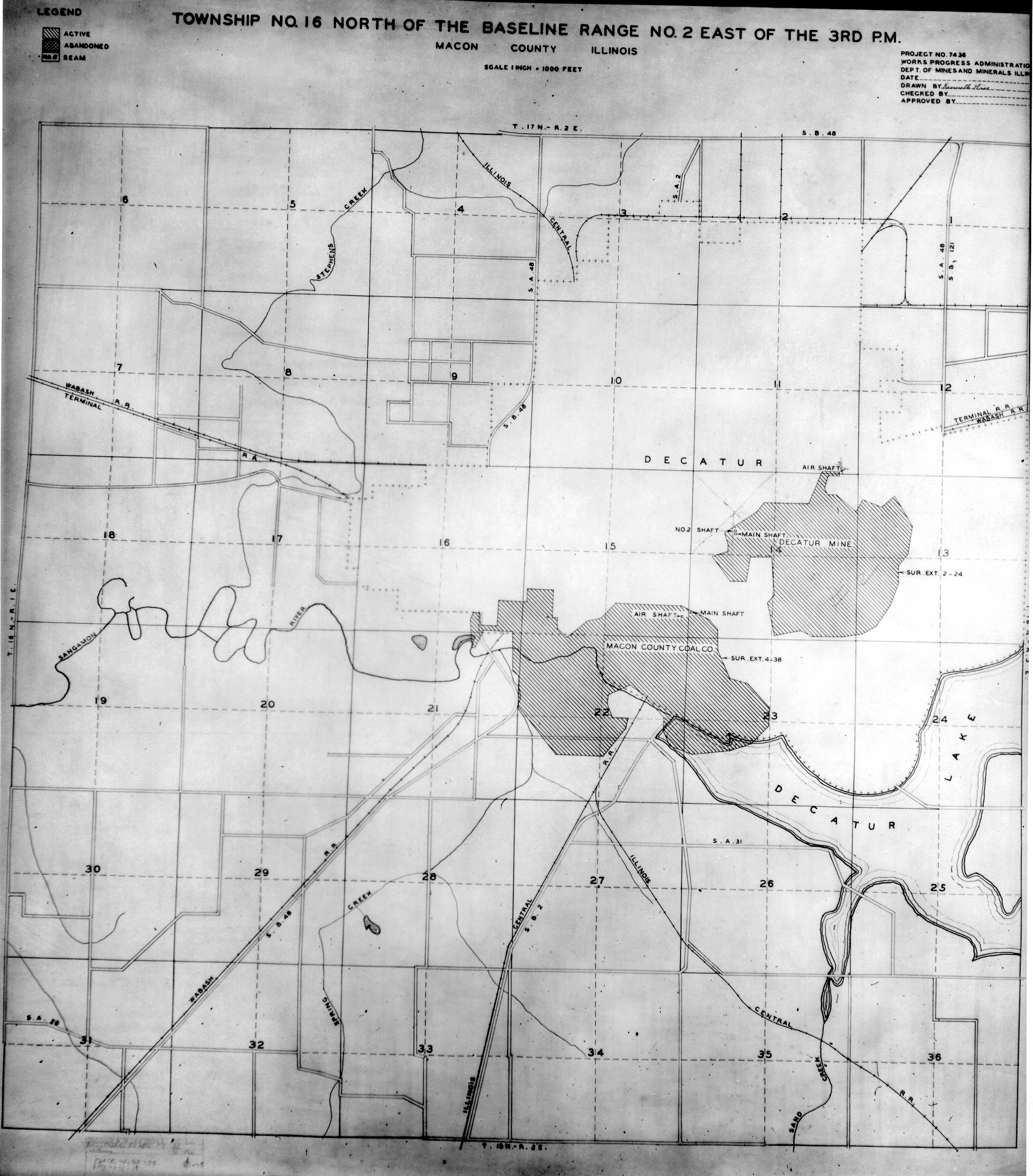
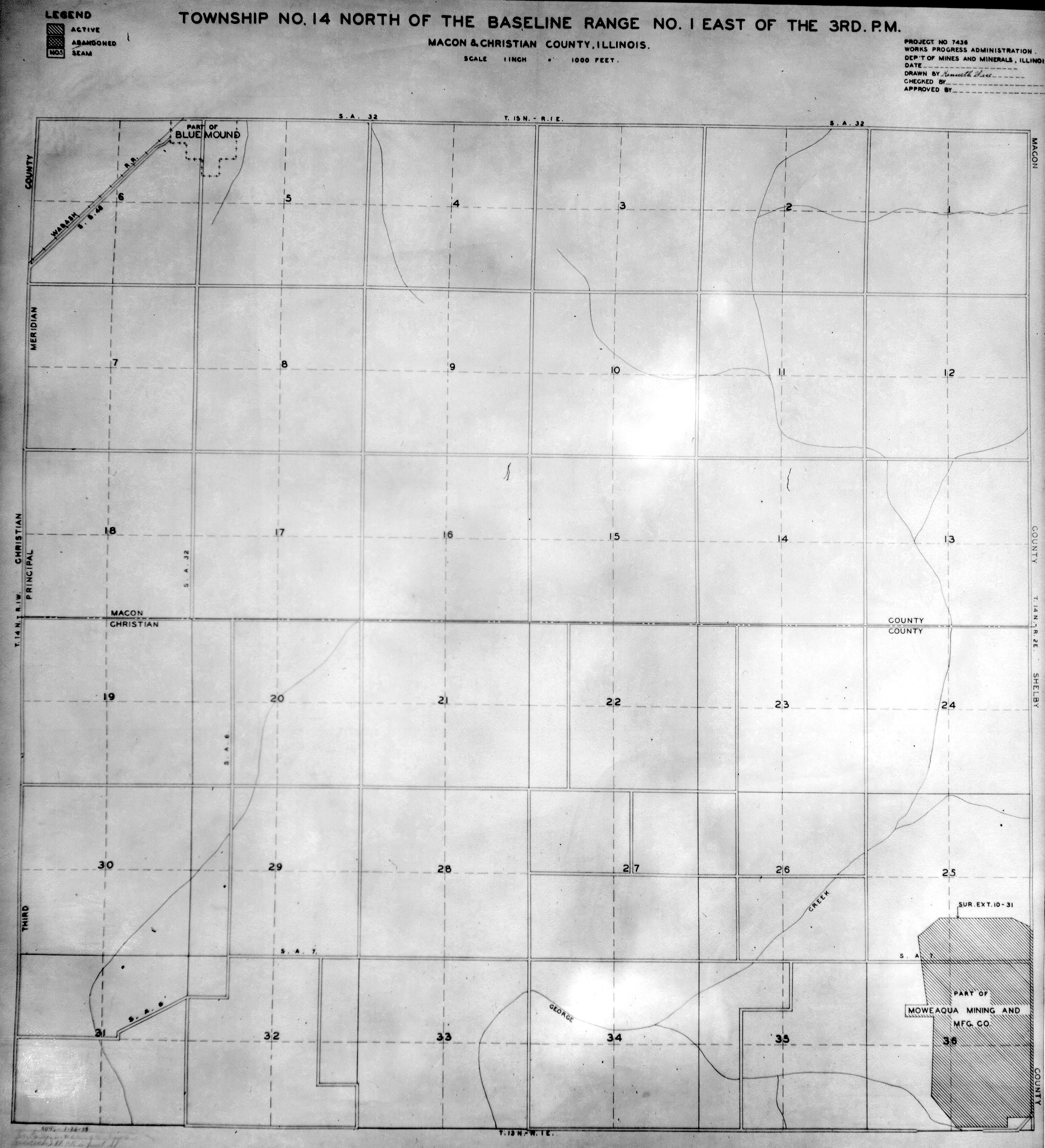
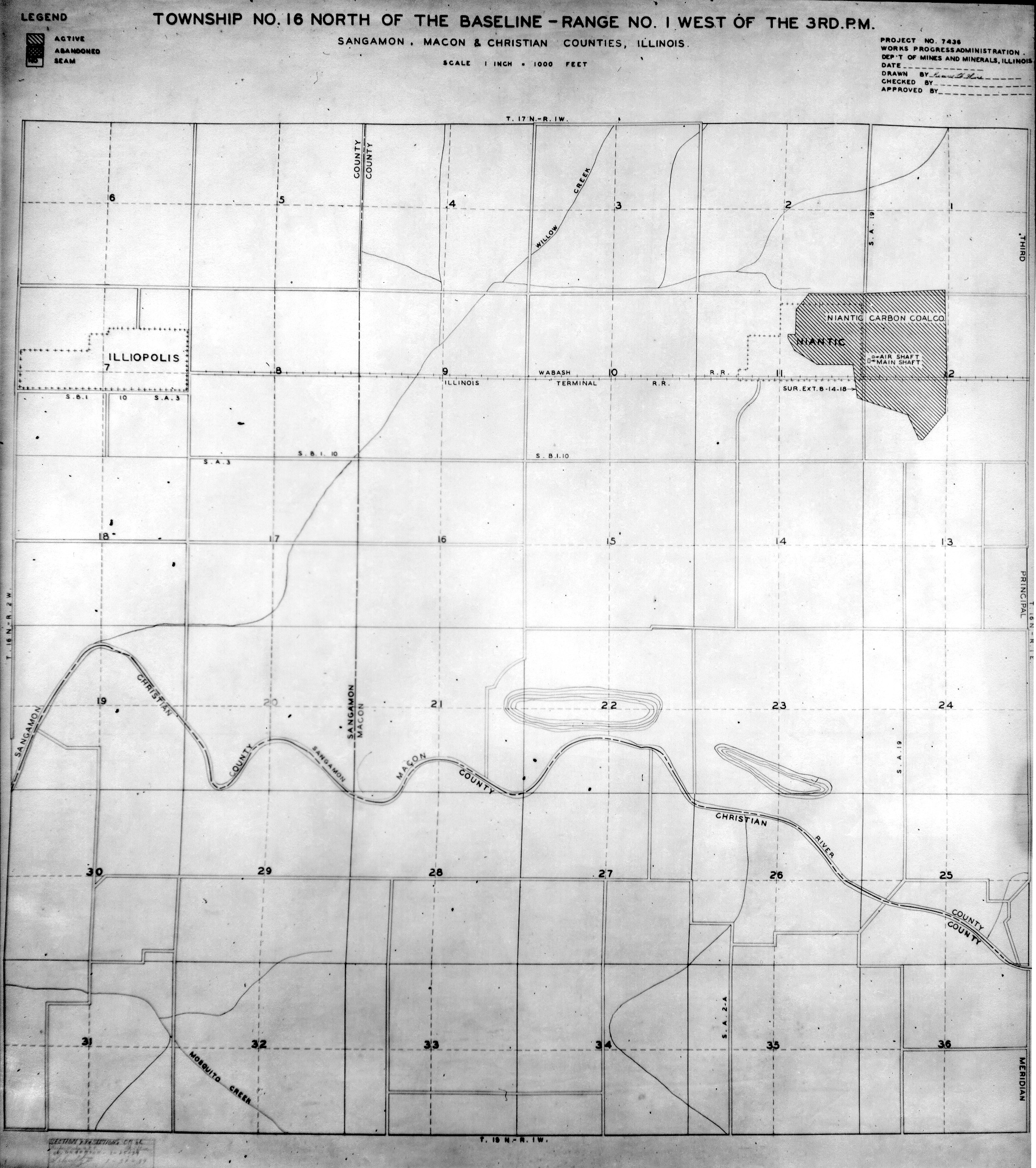
Historical Mined Out Area Maps
WPA
These maps were constructed as part of the nationwide Works Projects Administration (WPA), generally between 1934 and 1937 with some later updates or revisions,
Disclaimer
Maps for some locations might have multiple versions/seams, please inspected these areas closely for differences.
Notes and corrections were made by ISGS staff.
These maps are reproductions from microfilm, they may be of poor quality with text difficult to read.


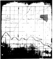
Federal Land Bank of St. Louis, Preliminary Reports on Subsidence Investigations
Federal Land Bank of St. Louis, Preliminary Reports on Subsidence Investigations (refered by Coal Section Staff as "Quade Maps")
Mining engineers working for the Federal Land Bank of St. Louis mapped areas of subsidence due to coal mining in the early 1930s. These reports often include county maps of mine properties with mined-out areas including shaft locations, as well as subsidence areas.
Disclaimer
Maps for some locations might have multiple versions/seams, please inspected these areas closely for differences.
These maps are accompanied by a report, please download and inspect this document.
Notes and corrections were made by ISGS staff.
There are no Quade Maps for this county
Photographs

Pages in category "Macon-County"
The following 6 pages are in this category, out of 6 total.
Media in category "Macon-County"
The following 27 files are in this category, out of 27 total.
 M-947 break in curb and pavement Decatur over M C CC.jpg 2,500 × 1,446; 545 KB
 M0041 coalreport1884 p546.pdf 733 × 1,266; 539 KB
 M0041 coalreport1892 p575.pdf 712 × 1,139; 308 KB
 M0041 coalreport1899 p78.pdf 743 × 1,206; 471 KB
 M0041 mf geo.jpg 3,194 × 3,390; 2.85 MB
 M0041 minenotes.pdf 733 × 1,202, 16 pages; 9.86 MB
 M0041.jpg 1,495 × 1,653; 603 KB
 M0042 coalreport1903 p231.pdf 797 × 1,200; 317 KB
 M0042 coalreport1904 p261.pdf 772 × 1,172; 382 KB
 M0042 minenotes.pdf 733 × 1,202, 27 pages; 33.57 MB
 M0042.jpg 3,390 × 1,903; 1.42 MB
 M0123 geo2.jpg 3,194 × 3,390; 2.72 MB
 M0123 minenotes.pdf 739 × 1,193, 9 pages; 1.72 MB
 M0280 coalreport1903 p231.pdf 743 × 1,172; 303 KB
 M0280 coalreport1904 p261.pdf 743 × 1,175; 379 KB
 M0280 minenotes.pdf 731 × 1,202, 4 pages; 1.11 MB
 M0759 coalreport1884 p545.pdf 720 × 1,233; 493 KB
 M0759 coalreport1885 p123.pdf 1,652 × 1,293, 2 pages; 1.75 MB
 M0759 coalreport1905 p269.pdf 633 × 977, 2 pages; 196 KB
 M0759 geo.jpg 3,194 × 3,390; 2.59 MB
 M0759 minenotes.pdf 731 × 1,202, 4 pages; 1.08 MB
 M0759.jpg 1,575 × 1,689; 772 KB
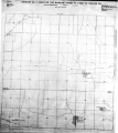
 WPA MACON 16N2E.jpg 2,266 × 2,580; 1.78 MB
 WPA MACON CHRISTIAN 14N1E.jpg 2,224 × 2,444; 1.55 MB
 WPA MACON SANGAMON CHRISTIAN 16N1W.jpg 2,256 × 2,544; 1.59 MB
 WPA MACON SHELBY 14N2E.jpg 1,896 × 2,292; 992 KB
 WPA MENARD SANGAMON 17N7W.jpg 1,828 × 2,048; 999 KB


