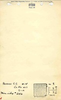
Mine Index Number: 0256
| Company Name:
|
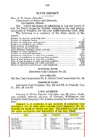
Peabody Coal Company
|
| Mine Name:
|
Peabody No. 18 Mine
|
| Start Date:
|
1907
|
End Date:
|
January 1947
|
| Type of Mine:
|
Underground
|
| Total acres shown:
|
2,822
|
| Acres after map date:
|
|
General Area of mining acres shown:
|
|
|
|
Shaft, Slope, Drift or Tipple Location(s)
| Type
|
County
|
Township-Range
|
Section
|
Part Section
|
| Main shaft (10'x14')
|
Franklin
|
7S 3E
|
8
|
SE SE SE
|
| Air shaft
|
Franklin
|
7S 3E
|
9
|
SW SW SW
|
Geology
Geological Problems Reported
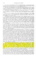
Two gas explosions occurred at this mine. The first killed four men in February 1909, and set the shaft on fire. The mine had to be flooded and the works idled until August 1910, when reclamation work began. The second explosion killed 21 men in 1928.
Production
| Company
|
Mine Name
|
Date
|
Production (tons)
|
|
|
|
|
|
| Total Production: 14,272,629
|
Production Notes
Coal Report production (if available)
Sources of Data
| Microfilm, document 351439
|
5-3-1947
|
1:9600
|
1:19200
|
Final
|
| Company, 4103.F7 i5.1-13
|
3-15-1932
|
1:2400
|
1:2400
|
Not final
|
Annotated Bibliography (Data source - brief description of information)
| Coal Reports - Production, ownership, years of operation, shaft size, thickness, geologic problems.
|
| Directory of Illinois Coal Mines (Franklin County) - Mine names, mine index, ownership, years of operation.
|
| Mine notes (Franklin County) - Mine type, shaft locations, seam, depth, thickness.
|
| Microfilm map, document 351439, reel 03136, frames 110 & 111 - Mine outline, mining method.
|
| Company map, ISGS map library, 4103.F7 i5.1-13 - Shaft locations.
|
Mine Notes
Mine Images
Microfilm: 351439
Map Date: 5-3-1947
Coal Co.: Peabody Coal Company
Mine Name: Peabody No. 18 Mine
Full Res Download
Photographs

